 Old Cumbria Gazetteer
 |
 |
|
| Barrow-in-Furness: Schooner Street | ||
| Schooner Street | ||
| locality:- | Barrow Island | |
| locality:- | Barrow-in-Furness | |
| civil parish:- | Barrow-in-Furness (formerly Lancashire) | |
| county:- | Cumbria | |
| locality type:- | street | |
| coordinates:- | SD19716812 (etc) | |
| 1Km square:- | SD1968 | |
| 10Km square:- | SD16 | |
|
|
||
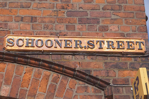 CDF60.jpg Sign, (taken 7.6.2015) 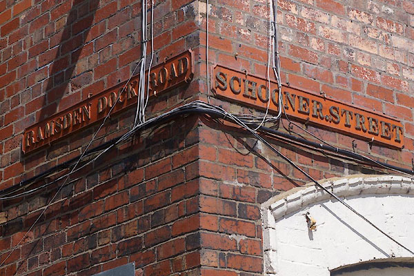 CDF85.jpg Sign, (taken 7.6.2015) |
||
|
|
||
| evidence:- | old map:- OS County Series (Lan 21 11) placename:- Schooner Street |
|
| source data:- | Maps, County Series maps of Great Britain, scales 6 and 25
inches to 1 mile, published by the Ordnance Survey, Southampton,
Hampshire, from about 1863 to 1948. |
|
|
|
||
 Lakes Guides menu.