 Old Cumbria Gazetteer
 |
 |
|
| Foulney Embankment, Barrow-in-Furness | ||
| Foulney Embankment | ||
| civil parish:- | Barrow-in-Furness (formerly Lancashire) | |
| county:- | Cumbria | |
| locality type:- | track | |
| coordinates:- | SD24116471 (etc) | |
| 1Km square:- | SD2464 | |
| 10Km square:- | SD26 | |
|
|
||
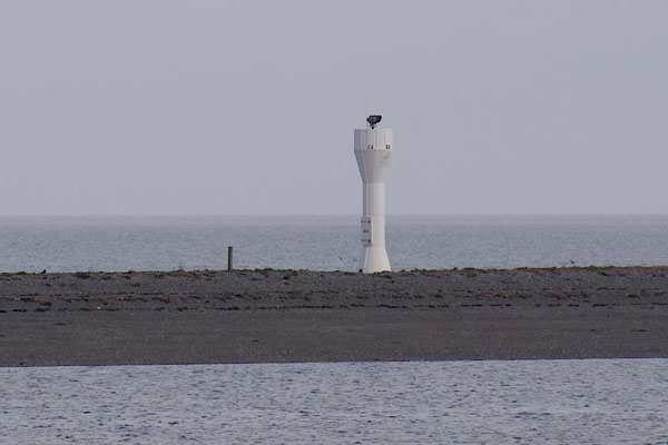 CAG03.jpg ? on the embankment. (taken 4.4.2014) |
||
|
|
||
| evidence:- | old map:- OS County Series (Lan 28 1) placename:- Foulney Embankment |
|
| source data:- | Maps, County Series maps of Great Britain, scales 6 and 25
inches to 1 mile, published by the Ordnance Survey, Southampton,
Hampshire, from about 1863 to 1948. OS County Series (Lan 28 5) |
|
|
|
||
 Lakes Guides menu.