 |
 |
|
|
|
|
Low Cotehill |
|
|
| locality:- |
Cotehill |
| civil parish:- |
Wetheral (formerly Cumberland) |
| county:- |
Cumbria |
| locality type:- |
locality |
| locality type:- |
buildings |
| coordinates:- |
NY47315056 (etc) |
| 1Km square:- |
NY4750 |
| 10Km square:- |
NY45 |
|
|
| evidence:- |
old map:- OS County Series (Cmd 31 2)
placename:- Low Coathill
placename:- Coathill, Low
|
| source data:- |
Maps, County Series maps of Great Britain, scales 6 and 25
inches to 1 mile, published by the Ordnance Survey, Southampton,
Hampshire, from about 1863 to 1948.
|
|
|
| places:- |
 |
NY47435060 Blind Wells (Wetheral) |
|
|
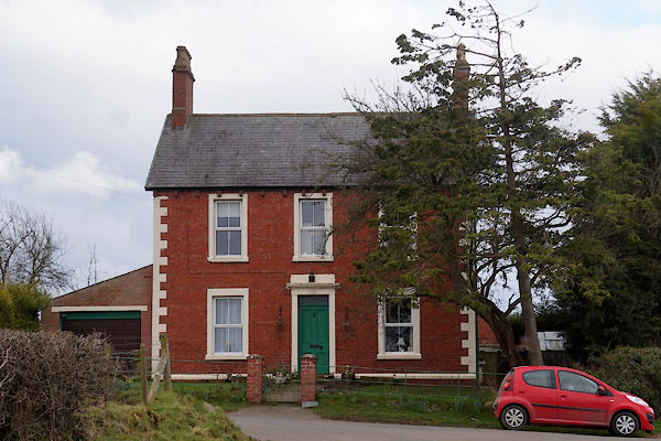 |
NY47375049 Fern House (Wetheral) |
|
|
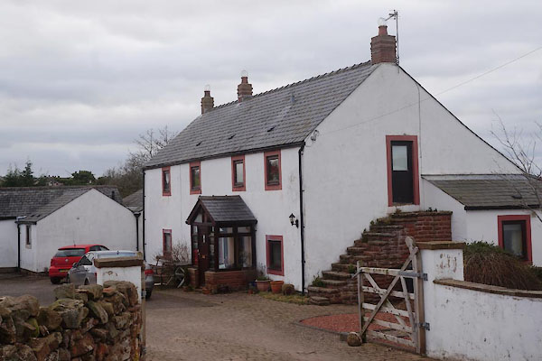 |
NY47285054 Low Cotehill Farm (Wetheral) L |
|
|
|
NY47275050 mill, Low Cotehill (Wetheral) |
|
