 Old Cumbria Gazetteer
 |
 |
|
| quarry, Cumrew | ||
| locality:- | Cumrew Fell | |
| civil parish:- | Cumrew (formerly Cumberland) | |
| county:- | Cumbria | |
| locality type:- | limestone quarry | |
| locality type:- | quarry | |
| locality type:- | limekiln | |
| coordinates:- | NY56955027 | |
| 1Km square:- | NY5650 | |
| 10Km square:- | NY55 | |
|
|
||
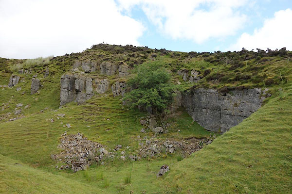 CBH37.jpg (taken 28.7.2014) |
||
|
|
||
| evidence:- | old map:- OS County Series (Cmd 32 2) |
|
| source data:- | Maps, County Series maps of Great Britain, scales 6 and 25
inches to 1 mile, published by the Ordnance Survey, Southampton,
Hampshire, from about 1863 to 1948. "Quarry / Limekilns" |
|
|
|
||
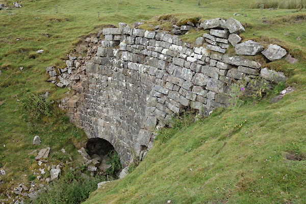 CBH38.jpg Limekiln, (taken 28.7.2014) 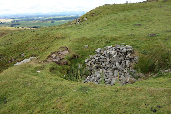 CBH39.jpg Limekiln, (taken 28.7.2014) |
||
|
|
||
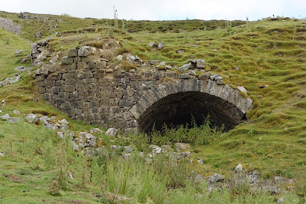 CBH40.jpg Limekiln, (taken 28.7.2014) 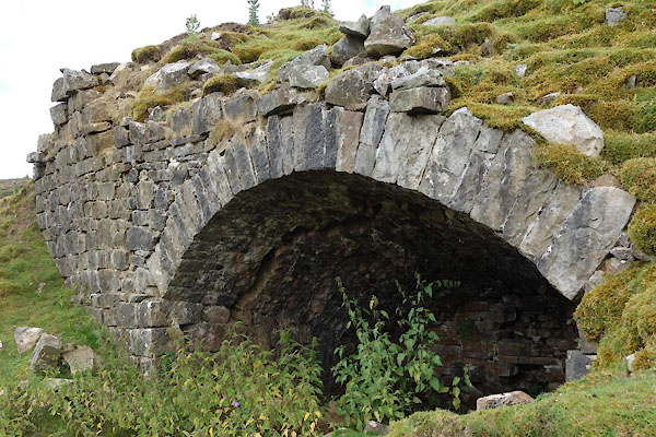 CBH41.jpg Limekiln, (taken 28.7.2014) 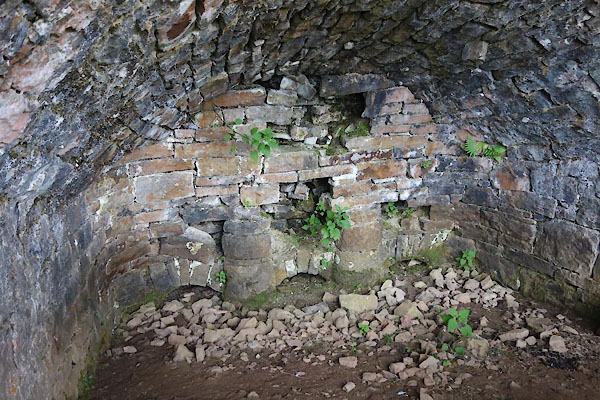 CBH42.jpg Limekiln, (taken 28.7.2014) |
||
|
|
||
 Lakes Guides menu.