Old Cumbria Gazetteer
 |
 |
|
||
| Asby Gill | ||||
| runs into:- |  Asby Beck Asby Beck |
|||
|
|
||||
| locality:- | Great Asby | |||
| civil parish:- | Asby (formerly Westmorland) | |||
| county:- | Cumbria | |||
| locality type:- | river | |||
| 1Km square:- | NY6712 (etc) | |||
| 10Km square:- | NY61 | |||
|
|
||||
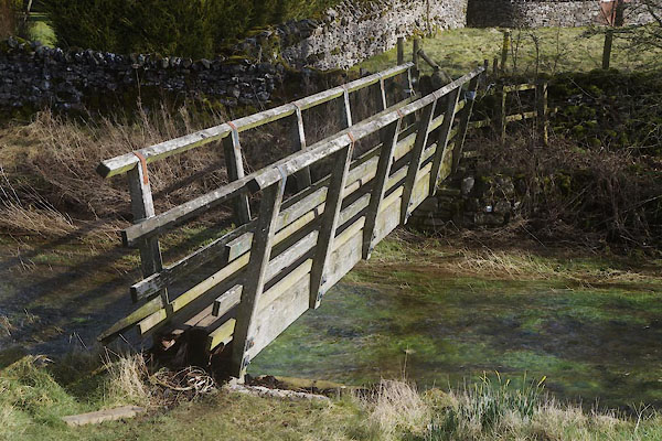
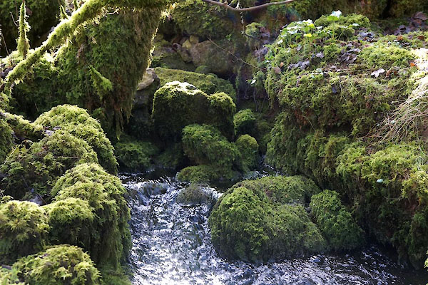
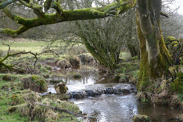 CFW69.jpg (taken 6.3.2017) |
||||
|
|
||||
| evidence:- | old map:- OS County Series (Wmd 22 3) placename:- Asby Beck |
|||
| source data:- | Maps, County Series maps of Great Britain, scales 6 and 25
inches to 1 mile, published by the Ordnance Survey, Southampton,
Hampshire, from about 1863 to 1948. OS County Series (Wmd 22 7) |
|||
|
|
||||
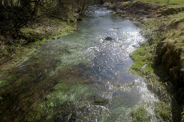 CFW43.jpg (taken 6.3.2017) 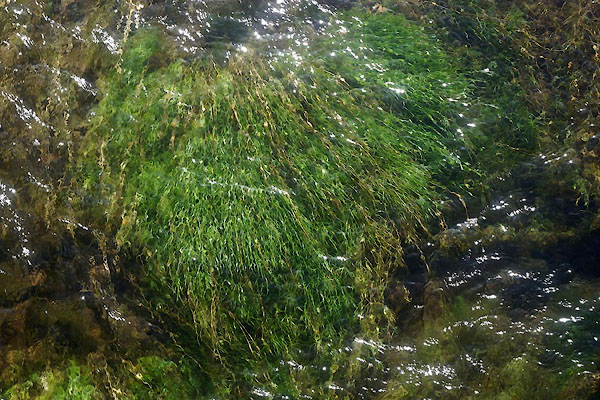 CFW44.jpg (taken 6.3.2017) 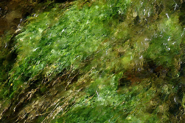 CFW45.jpg (taken 6.3.2017) |
||||
|
|
||||
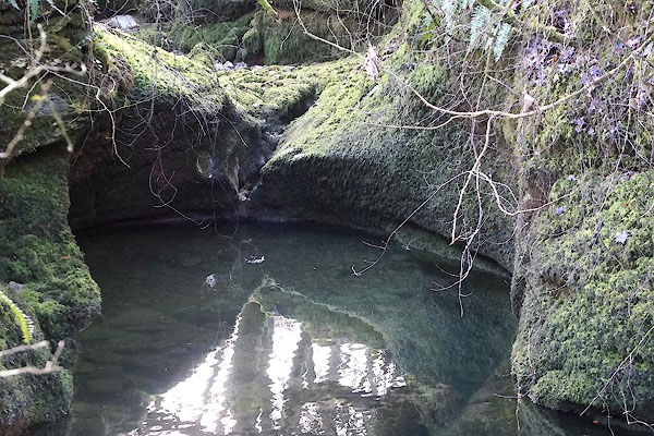
 CFW46.jpg Water bubbling in from underground, (taken 6.3.2017) 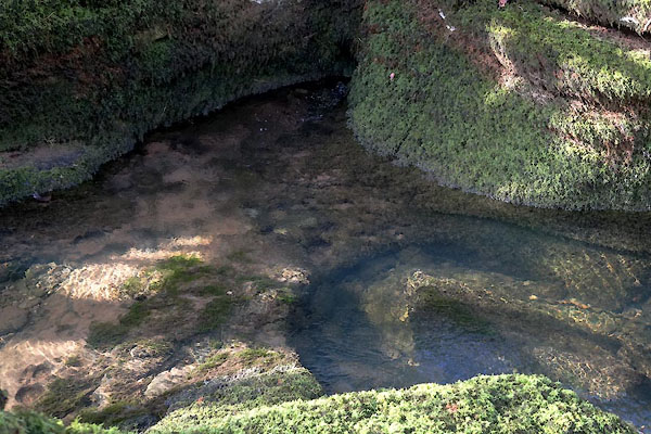 CFW47.jpg Water from an underground stream, (taken 6.3.2017) 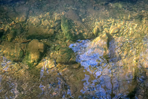 CFW48.jpg River bed, (taken 6.3.2017) |
||||
|
|
||||
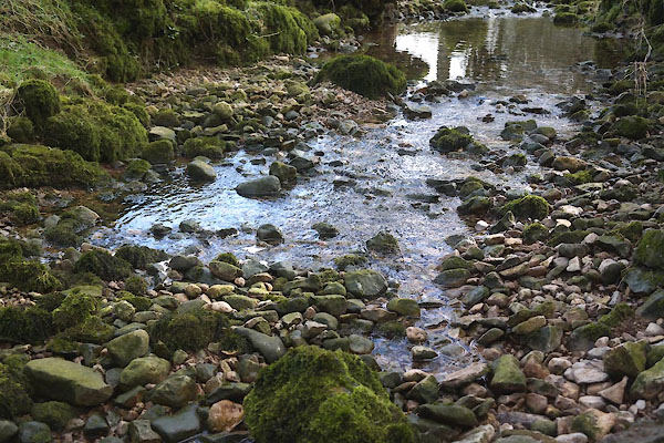
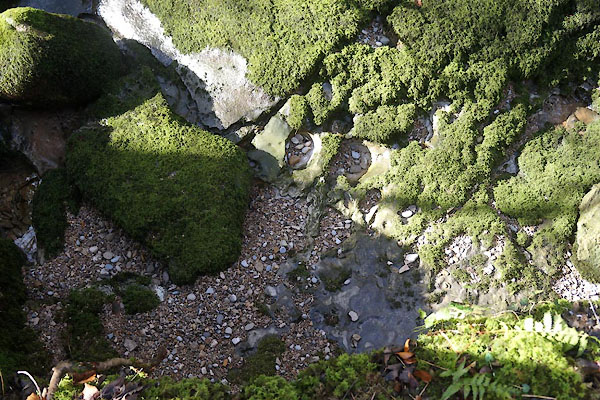 CFW50.jpg River bed, above Low Pate Hole, (taken 6.3.2017) 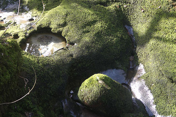 CFW51.jpg River bed, above Low Pate Hole, (taken 6.3.2017) 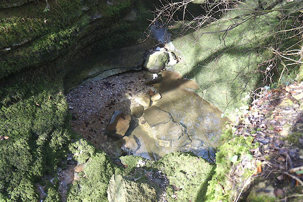 CFW52.jpg River bed, above Low Pate Hole, (taken 6.3.2017) 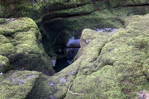 CFW53.jpg River bed, above Low Pate Hole, (taken 6.3.2017) |
||||
|
|
||||
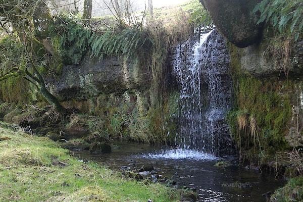 CFW67.jpg Stream from the side. (taken 6.3.2017) 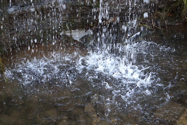 CFW68.jpg Stream from the side. (taken 6.3.2017) |
||||
|
|
||||
| notes:- |
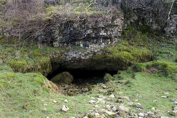
Usually dry, but 'kettles' higher up fill with rain and feed the stream. This is limestone
country. |
|||
|
|
||||
| places:- |
|
|||
|
||||
|
||||
|
||||
Lakes Guides menu.