Old Cumbria Gazetteer
 |
 |
|
||
| Scale Beck (2) | ||||
| runs into:- |  Asby Beck Asby Beck |
|||
|
|
||||
| Scale Beck | ||||
| civil parish:- | Asby (formerly Westmorland) | |||
| civil parish:- | Hoff (formerly Westmorland) | |||
| civil parish:- | Crosby Ravensworth (formerly Westmorland) | |||
| county:- | Cumbria | |||
| locality type:- | river | |||
| locality type:- | boundary | |||
| locality type:- | parish boundary | |||
| 1Km square:- | NY6614 (etc) | |||
| 10Km square:- | NY61 | |||
|
|
||||
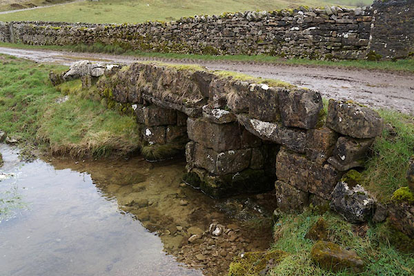
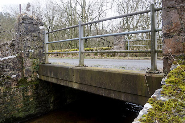
 CFV75.jpg (taken 3.3.2017) 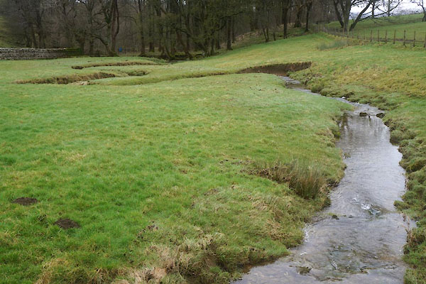 CFW04.jpg (taken 3.3.2017) |
||||
|
|
||||
| evidence:- | old map:- OS County Series (Wmd 22 1) placename:- Seale Beck |
|||
| source data:- | Maps, County Series maps of Great Britain, scales 6 and 25
inches to 1 mile, published by the Ordnance Survey, Southampton,
Hampshire, from about 1863 to 1948. |
|||
|
|
||||
| evidence:- | old map:- Morden 1695 (Wmd) |
|||
| source data:- | Map, hand coloured engraving, Westmorland, scale about 2.5 miles to 1 inch, by Robert
Morden, published by Abel Swale, the Unicorn, St Paul's Churchyard, Awnsham, and John
Churchill, the Black Swan, Paternoster Row, London, 1695.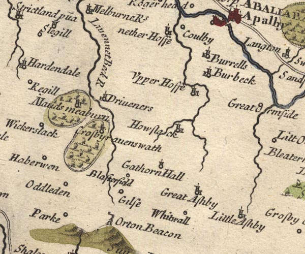 MD10NY61.jpg Near Howslack. item:- JandMN : 24 Image © see bottom of page |
|||
|
|
||||
| evidence:- | old map:- Jefferys 1770 (Wmd) |
|||
| source data:- | Map, 4 sheets, The County of Westmoreland, scale 1 inch to 1
mile, surveyed 1768, and engraved and published by Thomas
Jefferys, London, 1770.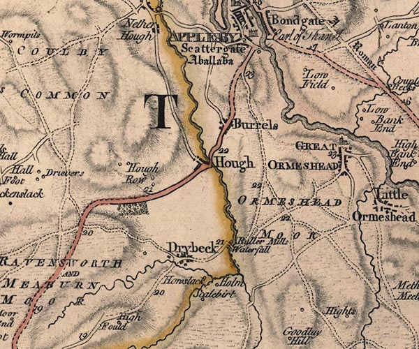 J5NY61NE.jpg single or double wiggly line; river several item:- National Library of Scotland : EME.s.47 Image © National Library of Scotland |
|||
|
|
||||
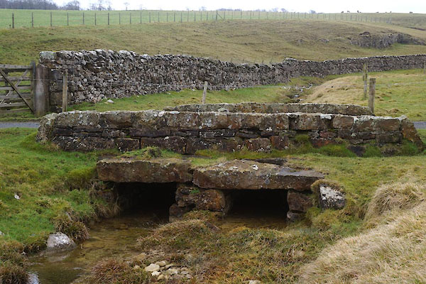
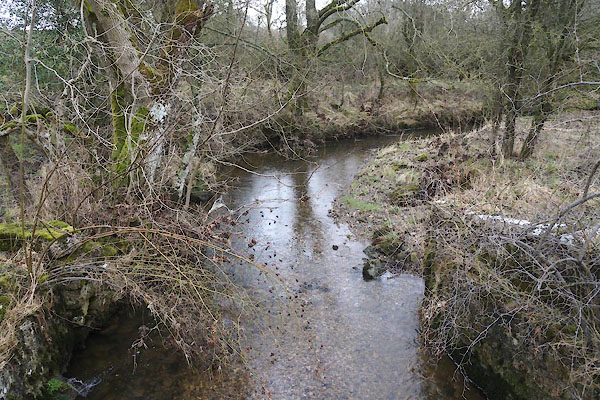 CFW29.jpg (taken 3.3.2017) |
||||
|
|
||||
| places:- |
|
|||
|
||||
|
||||
Lakes Guides menu.