 Old Cumbria Gazetteer
 |
 |
|
| road, from A6 to Garnett Bridge | ||
| from A6 to Garnett Bridge | ||
| Garnett Bridge to A6 | ||
| civil parish:- | Whitwell and Selside (formerly Westmorland) | |
| civil parish:- | Strickland Roger (formerly Westmorland) | |
| county:- | Westmorland | |
| locality type:- | road route | |
| 10Km square:- | SD59 | |
|
|
||
| evidence:- | old map:- Jefferys 1770 (Wmd) |
|
| source data:- | Map, 4 sheets, The County of Westmoreland, scale 1 inch to 1
mile, surveyed 1768, and engraved and published by Thomas
Jefferys, London, 1770.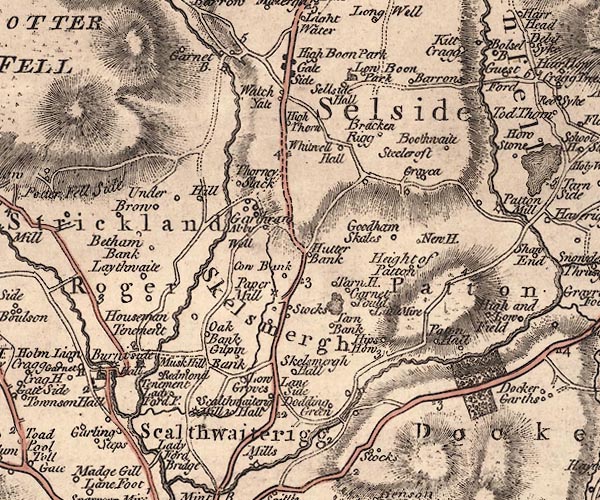 J5SD59NW.jpg double line; road, with mile numbers item:- National Library of Scotland : EME.s.47 Image © National Library of Scotland |
|
|
|
||
| evidence:- | old map:- Ford 1839 map |
|
| source data:- | Map, uncoloured engraving, Map of the Lake District of
Cumberland, Westmoreland and Lancashire, scale about 3.5 miles
to 1 inch, published by Charles Thurnam, Carlisle, and by R
Groombridge, 5 Paternoster Row, London, 3rd edn 1843.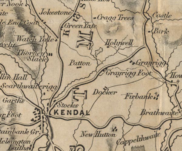 FD02SD59.jpg Road. item:- JandMN : 100.1 Image © see bottom of page |
|
|
|
||
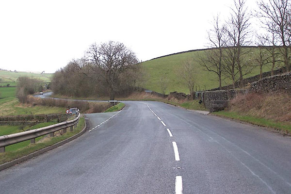 BNK01.jpg Junction on the A6, from S. (taken 19.3.2007) 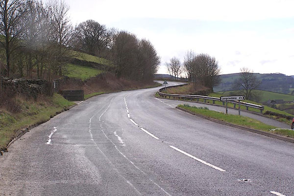 BNK02.jpg Junction on the A6, from N. (taken 19.3.2007) 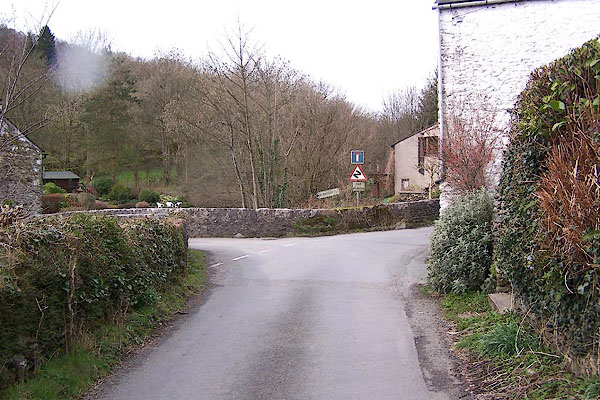 BNJ98.jpg Junction at Garnett Bridge. (taken 19.3.2007) |
||
|
|
||
 Lakes Guides menu.