 Old Cumbria Gazetteer
 |
 |
|
| Ashton Hall, Lancashire | ||
| Ashton Hall | ||
| county:- | Lancashire | |
| locality type:- | buildings | |
| 1Km square:- | SD4657 | |
| 10Km square:- | SD45 | |
|
|
||
| evidence:- | old map:- Ogilby 1675 (plate 38) placename:- Ashton |
|
| source data:- | Road strip map, hand coloured engraving, continuation of the
Road from London to Carlisle, scale about 1 inch to 1 mile, by
John Ogilby, London, 1675.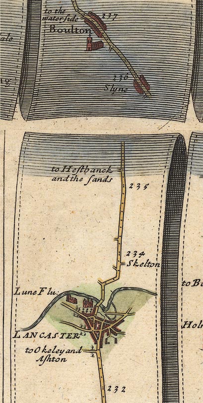 OG38m232.jpg Turning left off the road on south side of Lancaster:- "to Okeley and Ashton" item:- JandMN : 21 Image © see bottom of page |
|
|
|
||
| evidence:- | old map:- West 1784 map placename:- Ashton Hall |
|
| source data:- | Map, hand coloured engraving, A Map of the Lakes in Cumberland,
Westmorland and Lancashire, scale about 3.5 miles to 1 inch,
engraved by Paas, 53 Holborn, London, about 1784.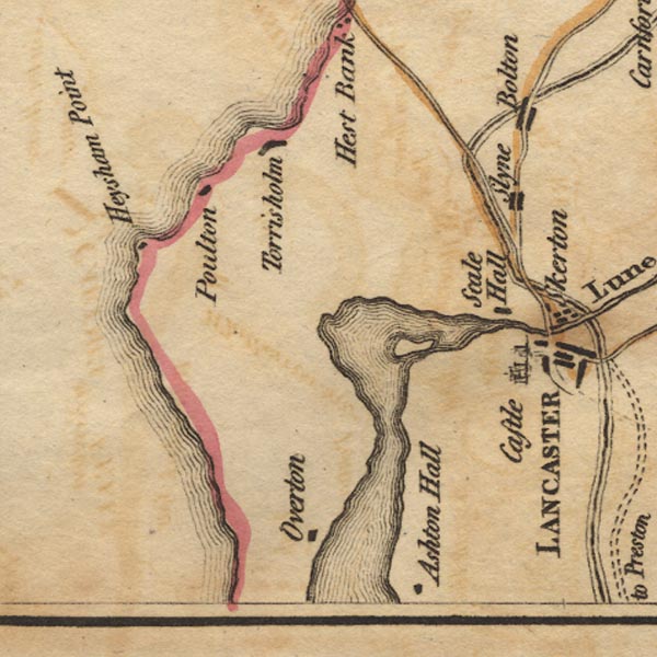 Ws02SD45.jpg item:- Armitt Library : A1221.1 Image © see bottom of page |
|
|
|
||
 Lakes Guides menu.