 |
 |
|
|
|
|
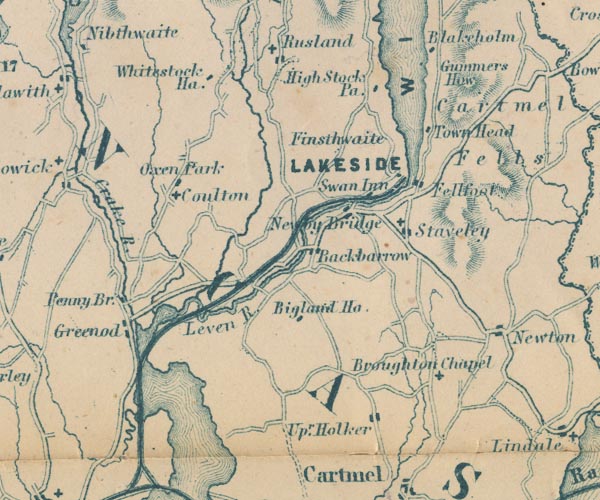
Beck Side |
| civil parish:- |
Lower Allithwaite (formerly Lancashire) |
| county:- |
Cumbria |
| locality type:- |
locality |
| locality type:- |
buildings |
| coordinates:- |
SD37408052 (etc) |
| 1Km square:- |
SD3780 |
| 10Km square:- |
SD38 |
|
|
| evidence:- |
old map:- OS County Series (Lan 12 15)
placename:- Beck Side
|
| source data:- |
Maps, County Series maps of Great Britain, scales 6 and 25
inches to 1 mile, published by the Ordnance Survey, Southampton,
Hampshire, from about 1863 to 1948.
|
|
|
| evidence:- |
just possibly old map:- Garnett 1850s-60s H
placename:- Upper Holker
|
| source data:- |
Map of the English Lakes, in Cumberland, Westmorland and
Lancashire, scale about 3.5 miles to 1 inch, published by John
Garnett, Windermere, Westmorland, 1850s-60s.
GAR2SD38.jpg
"Upr. Holker"
blocks, settlement
item:- JandMN : 82.1
Image © see bottom of page
|
|
|
| places:- |
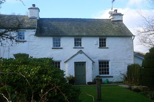 |
SD37288052 Beckside Cottage (Lower Allithwaite) L |
|
|
 |
SD37398047 Beckside Farm (Lower Allithwaite) L |
|
|
 |
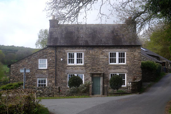
SD37428051 Beckside House Farm (Lower Allithwaite) L |
|
|
 |
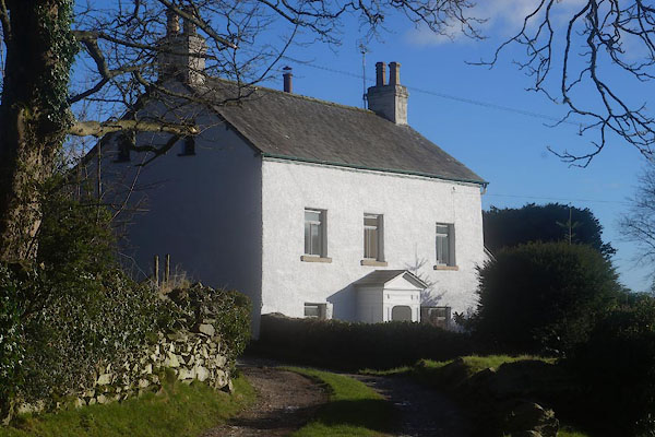
SD37448048 Beckside House (Lower Allithwaite) |
|
|
|
SD37288052 bee boles, Lower Allithwaite (2) (Lower Allithwaite) L |
|
|
|
SD23548225 Kirkby Mill Bridge (Kirkby Ireleth) |
|
|
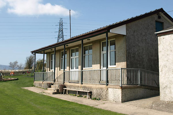 |
SD23298221 Kirkby-in-Furness Community Centre (Kirkby Ireleth) |
|
|
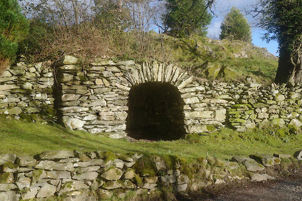 |
SD37418055 limekiln, Beck Side (Lower Allithwaite) |
|
|
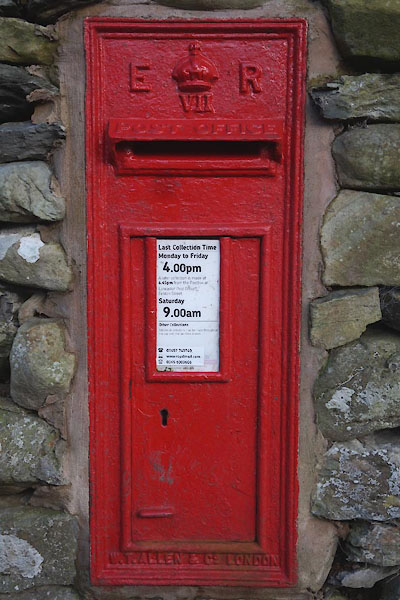 |
SD37428047 post box, Beck Side (Lower Allithwaite) |
|
|
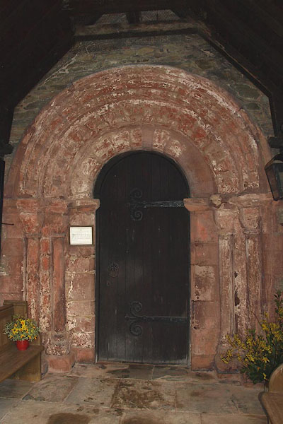 |
SD23388220 St Cuthbert's Church (Kirkby Ireleth) L |
|
|
 |
SD23498228 Beckside Rooms (Kirkby Ireleth) |
|
