 Old Cumbria Gazetteer
 |
 |
|
| Bell Hill Farm, Drigg and Carleton | ||
| Bell Hill Farm | ||
| civil parish:- | Drigg and Carleton (formerly Cumberland) | |
| county:- | Cumbria | |
| locality type:- | buildings | |
| coordinates:- | SD08189801 | |
| 1Km square:- | SD0898 | |
| 10Km square:- | SD09 | |
|
|
||
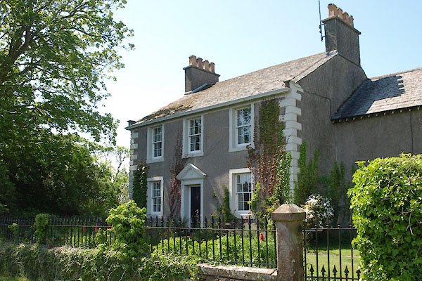 BYL93.jpg (taken 4.6.2013) 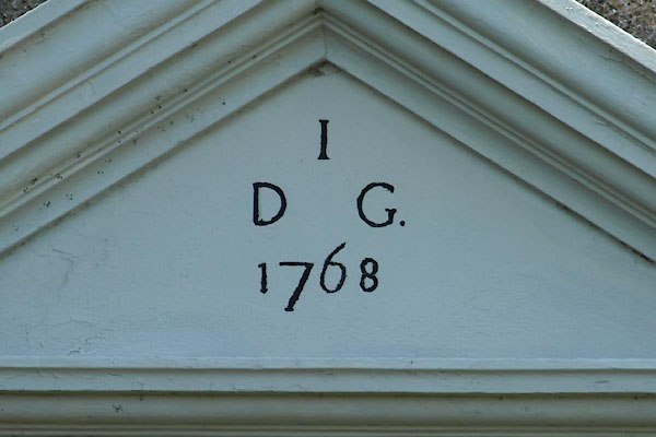 BYL94.jpg Date stone:- "I / D G. / 1768" (taken 4.6.2013) |
||
|
|
||
| evidence:- | old map:- Donald 1774 (Cmd) placename:- Hall Carleton |
|
| source data:- | Map, hand coloured engraving, 3x2 sheets, The County of Cumberland, scale about 1
inch to 1 mile, by Thomas Donald, engraved and published by Joseph Hodskinson, 29
Arundel Street, Strand, London, 1774.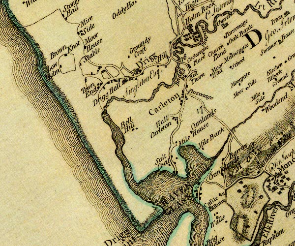 D4SD09NE.jpg "Hall Carleton" block or blocks, labelled in lowercase; a hamlet or just a house item:- Carlisle Library : Map 2 Image © Carlisle Library |
|
|
|
||
| evidence:- | database:- Listed Buildings 2010 placename:- Bell Hill Farm |
|
| source data:- | courtesy of English Heritage "BELL HILL FARMHOUSE / / / DRIGG AND CARLETON / COPELAND / CUMBRIA / II / 76318 / SD0818397997" |
|
|
|
||
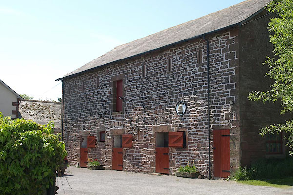 BYL95.jpg Barn, stables. (taken 4.6.2013) 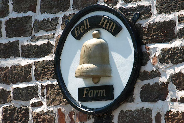 BYL96.jpg Sign. (taken 4.6.2013) |
||
|
|
||
 Lakes Guides menu.