 Old Cumbria Gazetteer
 |
 |
|
| Borrans Hill Farm, Sebergham | ||
| Borrans Hill Farm | ||
| civil parish:- | Sebergham (formerly Cumberland) | |
| county:- | Cumbria | |
| locality type:- | buildings | |
| coordinates:- | NY36064449 | |
| 1Km square:- | NY3644 | |
| 10Km square:- | NY34 | |
|
|
||
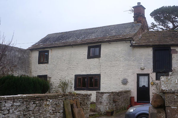 CET23.jpg (taken 18.3.2016) 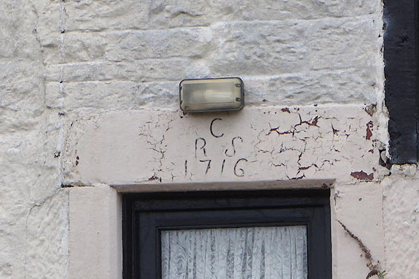 CET24.jpg Date stone:- "C / R S / 1716" (taken 18.3.2016) |
||
|
|
||
| evidence:- | old map:- Donald 1774 (Cmd) placename:- Borwens Hill |
|
| source data:- | Map, hand coloured engraving, 3x2 sheets, The County of Cumberland, scale about 1
inch to 1 mile, by Thomas Donald, engraved and published by Joseph Hodskinson, 29
Arundel Street, Strand, London, 1774.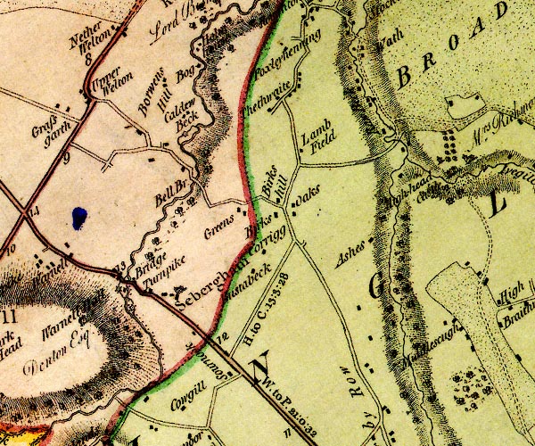 D4NY34SE.jpg "Borwens Hill" block or blocks, labelled in lowercase; a hamlet or just a house item:- Carlisle Library : Map 2 Image © Carlisle Library |
|
|
|
||
| evidence:- | database:- Listed Buildings 2010 placename:- Borrans Hill Farm item:- date stone (1716) |
|
| source data:- | courtesy of English Heritage "BORRANS HILL FARMHOUSE AND ADJOINING BARN / / / SEBERGHAM / ALLERDALE / CUMBRIA / II / 72466 / NY3606244495" |
|
|
|
||
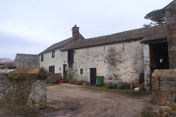 CET25.jpg (taken 18.3.2016) 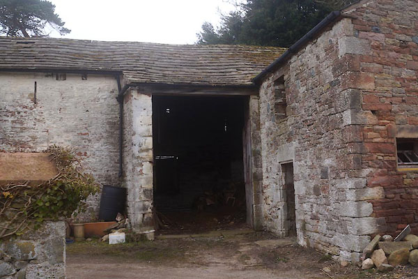 CET26.jpg Barn. (taken 18.3.2016) 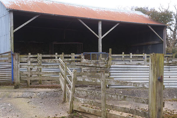 CET27.jpg Barn. (taken 18.3.2016) |
||
|
|
||
 Lakes Guides menu.