Old Cumbria Gazetteer
 |
 |
|
||
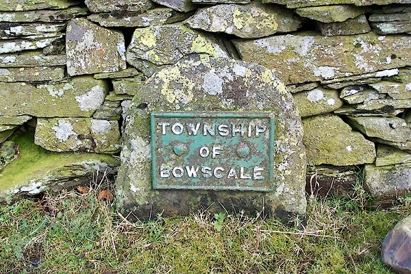
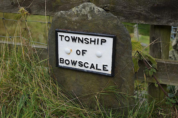
| Bowscale, Mungrisdale | ||||
| Bowscale | ||||
| boughscle | ||||
| civil parish:- | Mungrisdale (formerly Cumberland) | |||
| county:- | Cumbria | |||
| locality type:- | locality | |||
| locality type:- | buildings | |||
| coordinates:- | NY35873165 (etc) | |||
| 1Km square:- | NY3531 | |||
| 10Km square:- | NY33 | |||
|
|
||||
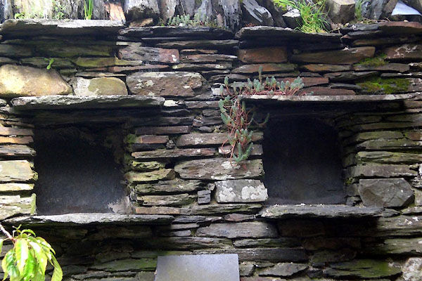
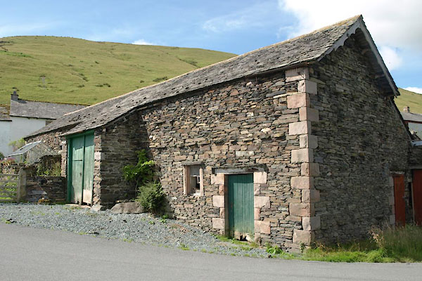
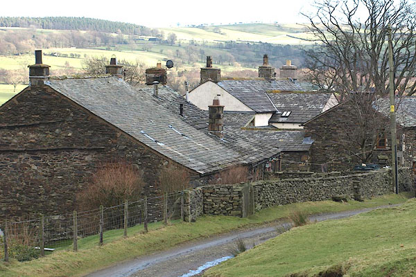 BOP05.jpg (taken 6.2.2008) 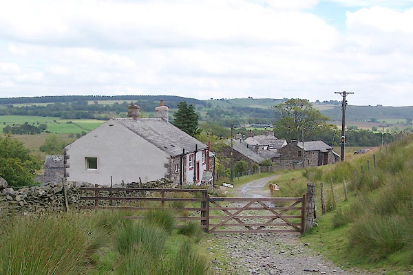 BVD04.jpg (taken 3.8.2011) |
||||
|
|
||||
| evidence:- | old map:- Gents Mag 1747 placename:- Bouse Scale |
|||
| source data:- | Map, uncoloured engraving, perspective view, Caudbeck Fells ie
Caldbeck Fells, scale about 1+ miles to 1 inch, published in the
Gentleman's Magazine, 1747.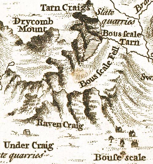 GM1404.jpg "Bouse scale" buildings item:- Carlisle Library : Map 43 Image © Carlisle Library |
|||
|
|
||||
| evidence:- | old map:- Donald 1774 (Cmd) placename:- Bowscale |
|||
| source data:- | Map, hand coloured engraving, 3x2 sheets, The County of Cumberland, scale about 1
inch to 1 mile, by Thomas Donald, engraved and published by Joseph Hodskinson, 29
Arundel Street, Strand, London, 1774.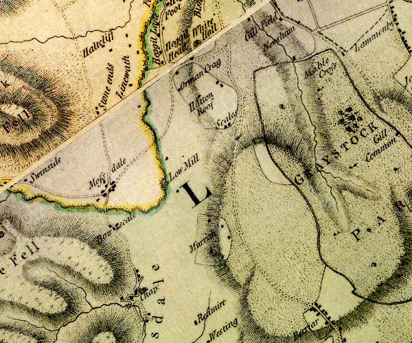 D4NY33SE.jpg "Bowscale" block or blocks, labelled in lowercase; a hamlet or just a house item:- Carlisle Library : Map 2 Image © Carlisle Library |
|||
|
|
||||
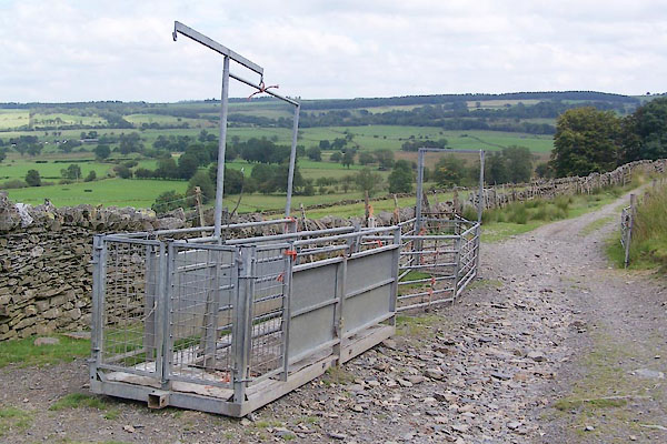 BVD05.jpg (taken 3.8.2011) 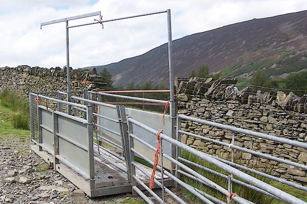 BVD06.jpg (taken 3.8.2011) 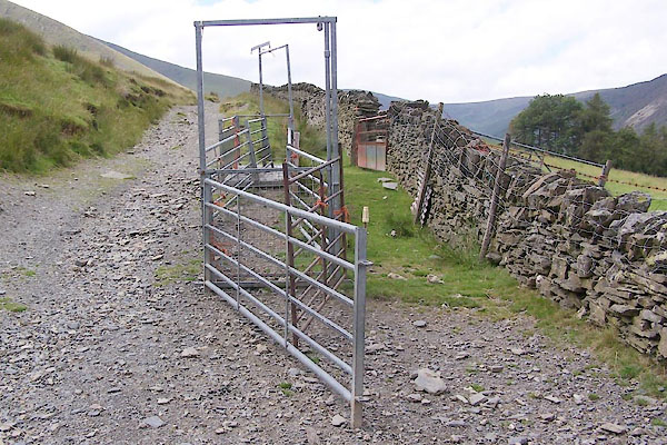 BVD07.jpg (taken 3.8.2011) |
||||
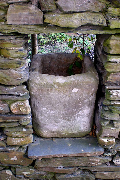
| Apparatus for sheep ... |
||||
|
|
||||
| places:- |
|
|||
|
||||
|
||||
|
||||
|
||||
|
||||
|
||||
|
||||
 Lakes Guides menu.