 Old Cumbria Gazetteer
 |
 |
|
| Langwathby Bridge, Langwathby | ||
| Langwathby Bridge | ||
| site name:- | Eden, River | |
| locality:- | Langwathby | |
| civil parish:- | Langwathby (formerly Cumberland) | |
| county:- | Cumbria | |
| locality type:- | bridge | |
| locality type:- | flood | |
| coordinates:- | NY56603353 | |
| 1Km square:- | NY5633 | |
| 10Km square:- | NY53 | |
|
|
||
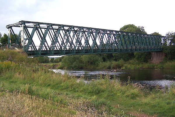 BJU62.jpg (taken 26.8.2005) 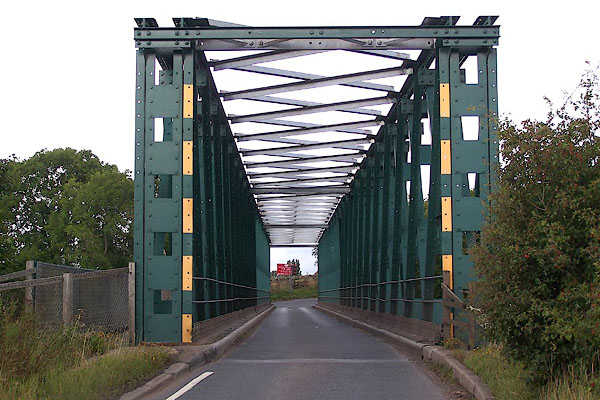 BJU63.jpg (taken 26.8.2005) |
||
|
|
||
| evidence:- | old map:- OS County Series (Cmd 50 10) placename:- Longwathby Bridge |
|
| source data:- | Maps, County Series maps of Great Britain, scales 6 and 25
inches to 1 mile, published by the Ordnance Survey, Southampton,
Hampshire, from about 1863 to 1948. |
|
|
|
||
| evidence:- | old map:- Bowen and Kitchin 1760 |
|
| source data:- | Map, hand coloured engraving, A New Map of the Counties of
Cumberland and Westmoreland Divided into their Respective Wards,
scale about 4 miles to 1 inch, by Emanuel Bowen and Thomas
Kitchin et al, published by T Bowles, Robert Sayer, and John
Bowles, London, 1760.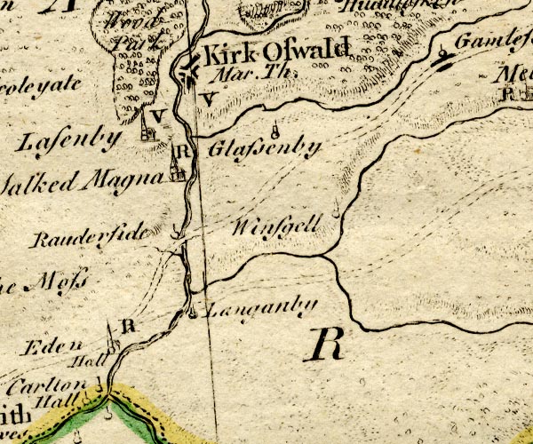 BO18NY53.jpg road across the Eden, by a ford? item:- Armitt Library : 2008.14.10 Image © see bottom of page |
|
|
|
||
| evidence:- | old map:- Donald 1774 (Cmd) |
|
| source data:- | Map, hand coloured engraving, 3x2 sheets, The County of Cumberland, scale about 1
inch to 1 mile, by Thomas Donald, engraved and published by Joseph Hodskinson, 29
Arundel Street, Strand, London, 1774.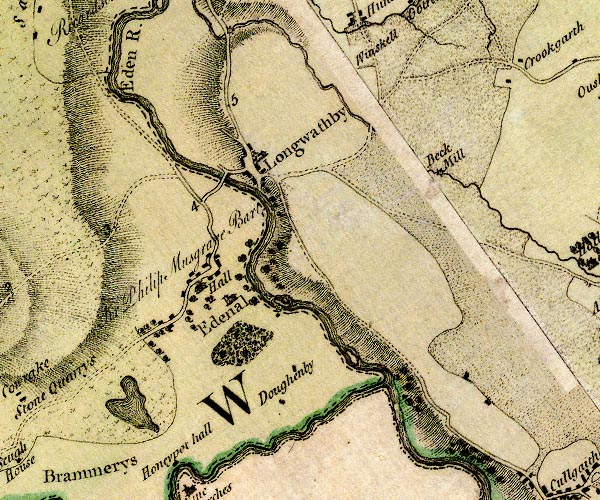 D4NY53SE.jpg double line across a river; a bridge over the Eden item:- Carlisle Library : Map 2 Image © Carlisle Library |
|
|
|
||
| evidence:- | presumably descriptive text:- Ford 1839 (3rd edn 1843) |
|
| source data:- | Guide book, A Description of Scenery in the Lake District, by
Rev William Ford, published by Charles Thurnam, Carlisle, by W
Edwards, 12 Ave Maria Lane, Charles Tilt, Fleet Street, William
Smith, 113 Fleet Street, London, by Currie and Bowman,
Newcastle, by Bancks and Co, Manchester, by Oliver and Boyd,
Edinburgh, and by Sinclair, Dumfries, 1839. goto source goto sourcePage 130:- "..." "At the village of Longwathby the tourist will cross the Eden by a good bridge of five arches, built in 1636. ..." |
|
|
|
||
| evidence:- | old map:- Bell 1892 placename:- Langwathby Bridge |
|
| source data:- | Map, colour lithograph, Road Map of Cumberland, by George Joseph
Bell, scale about 2.5 miles to 1 inch, printed by Charles
Thurnam and Sons, Carlisle, Cumberland, 1892.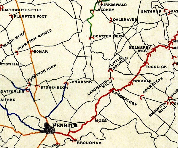 BEL9NY53.jpg "LANGWATHBY" bridge symbol Road map of Cumberland showing County Bridges item:- Carlisle Library : Map 38 Image © Carlisle Library |
|
|
|
||
| hearsay:- |
An earlier stone bridge was built 1685, replacing a long ford, a lang wath, across
the river here. The bridge was washed away in floods, March 1968; this is a temporary
replacement; still in place, 2016. |
|
|
|
||
Lakes Guides menu.