 |
 |
|
|
|
|
Broadwath |
| civil parish:- |
Wetheral (formerly Cumberland) |
| county:- |
Cumbria |
| locality type:- |
locality |
| locality type:- |
buildings |
| coordinates:- |
NY48515530 (etc) |
| 1Km square:- |
NY4855 |
| 10Km square:- |
NY45 |
|
|
| evidence:- |
old map:- OS County Series (Cmd 24 7)
placename:- Broadwath
|
| source data:- |
Maps, County Series maps of Great Britain, scales 6 and 25
inches to 1 mile, published by the Ordnance Survey, Southampton,
Hampshire, from about 1863 to 1948.
|
|
|
| evidence:- |
old map:- Donald 1774 (Cmd)
placename:- Broadwath
|
| source data:- |
Map, hand coloured engraving, 3x2 sheets, The County of Cumberland, scale about 1
inch to 1 mile, by Thomas Donald, engraved and published by Joseph Hodskinson, 29
Arundel Street, Strand, London, 1774.
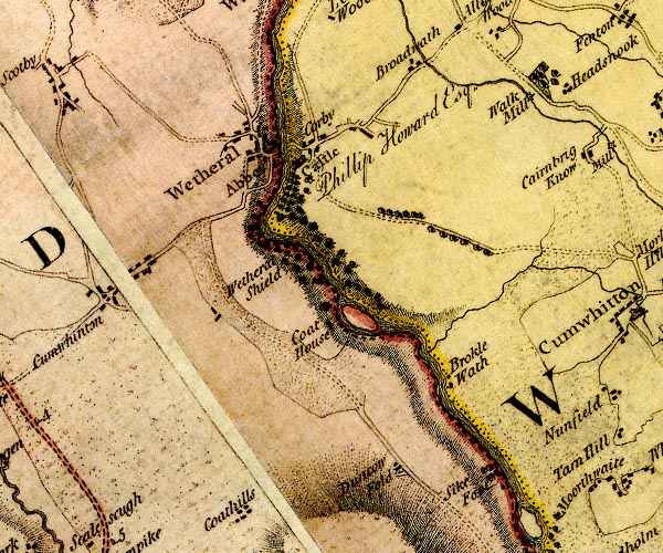
D4NY45SE.jpg
"Broadwath"
block or blocks, labelled in lowercase; a hamlet or just a house
item:- Carlisle Library : Map 2
Image © Carlisle Library |
|
|
| places:- |
 |
NY48495489 Broadwath Gates (Wetheral) |
|
|
 |
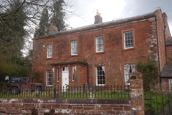
NY48405526 Broadwath House (Wetheral) |
|
|
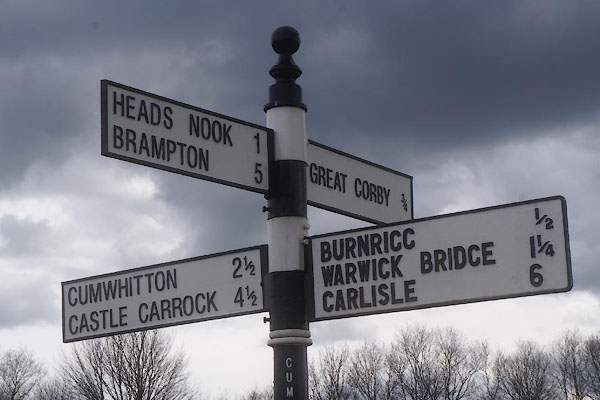 |
NY48295502 fingerpost, Broadwath (Wetheral) |
|
|
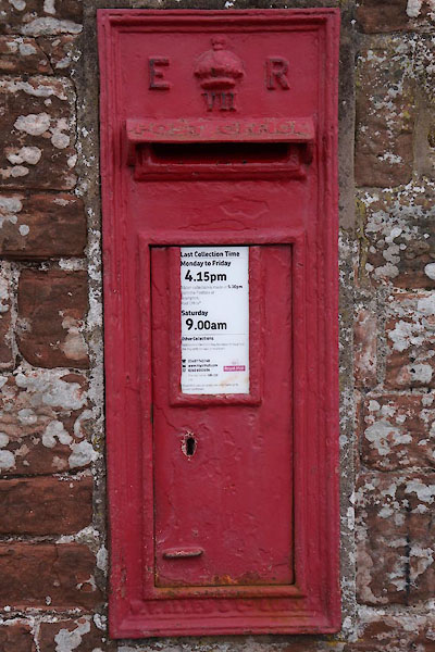 |
NY48505524 post box, Broadwath (Wetheral) |
|
|
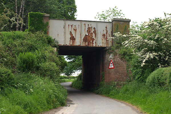 |
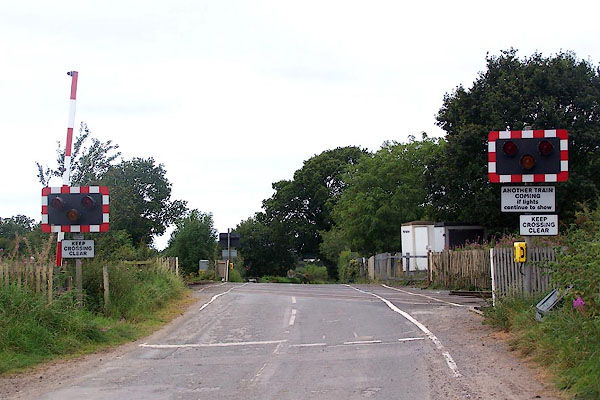
NY48225491 railway bridge, Wetheral (3) (Wetheral) |
|
|
|
NY48415490 railway sidings, Broadwath (Wetheral) |
|
|
|
NY48625483 Stonerigg (Wetheral) |
|
|
 |
NY48475524 Whitegate (Wetheral) L |
|
