 Old Cumbria Gazetteer
 |
 |
|
| Brunt Knott Farm, Over Staveley | ||
| Brunt Knott Farm | ||
| civil parish:- | Over Staveley (formerly Westmorland) | |
| county:- | Cumbria | |
| locality type:- | buildings | |
| coordinates:- | NY47810022 | |
| 1Km square:- | NY4700 | |
| 10Km square:- | NY40 | |
|
|
||
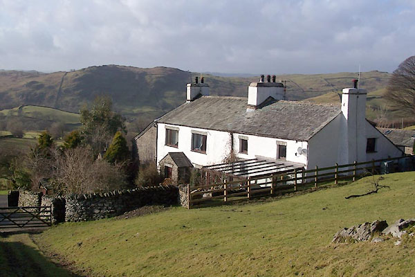 BTZ27.jpg (taken 1.2.2011) 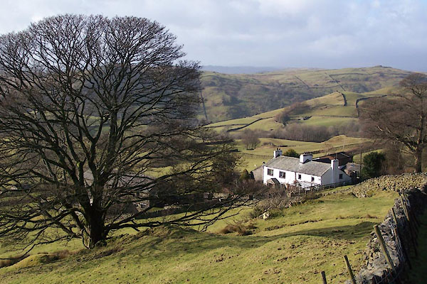 BTZ28.jpg (taken 1.2.2011) |
||
|
|
||
| evidence:- | old map:- OS County Series (Wmd 33 2) placename:- Brunt Knott |
|
| source data:- | Maps, County Series maps of Great Britain, scales 6 and 25
inches to 1 mile, published by the Ordnance Survey, Southampton,
Hampshire, from about 1863 to 1948. |
|
|
|
||
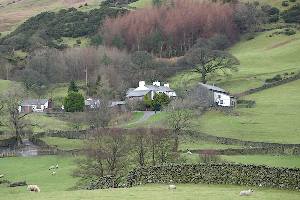 BRY21.jpg (taken 3.12.2009) |
||
|
|
||
 Lakes Guides menu.