 Old Cumbria Gazetteer
 |
 |
|
| Calfhow Pike, St John's Castlerigg etc | ||
| Calfhow Pike | ||
| civil parish:- | St John's Castlerigg and Wythburn (formerly Cumberland) | |
| civil parish:- | Matterdale (formerly Cumberland) | |
| county:- | Cumbria | |
| locality type:- | hill | |
| locality type:- | boundary feature | |
| locality type:- | parish boundary feature | |
| coordinates:- | NY33072114 | |
| 1Km square:- | NY3321 | |
| 10Km square:- | NY32 | |
|
|
||
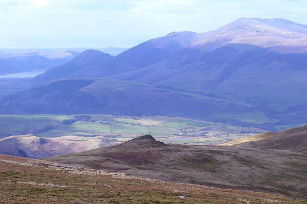 BOV23.jpg (taken 17.3.2008) 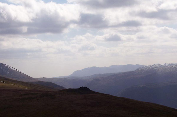 BOV21.jpg (taken 17.3.2008) |
||
|
|
||
| evidence:- | old map:- OS County Series (Cmd 65 9) placename:- Calfhow Pike |
|
| source data:- | Maps, County Series maps of Great Britain, scales 6 and 25
inches to 1 mile, published by the Ordnance Survey, Southampton,
Hampshire, from about 1863 to 1948. |
|
|
|
||
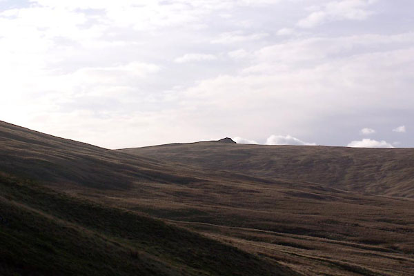 BXP20.jpg (taken 27.10.2012) |
||
|
|
||
 Lakes Guides menu.