 Old Cumbria Gazetteer
 |
 |
|
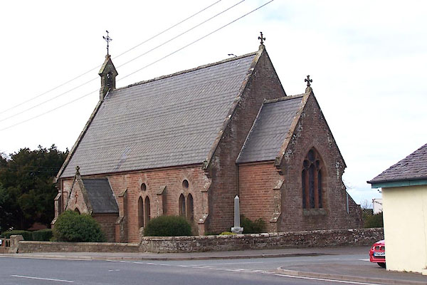
| Christ Church, Waverton | ||
| Christ Church | ||
| Waverton Church | ||
| locality:- | Waverton | |
| civil parish:- | Waverton (formerly Cumberland) | |
| county:- | Cumbria | |
| locality type:- | church | |
| coordinates:- | NY22694763 | |
| 1Km square:- | NY2247 | |
| 10Km square:- | NY24 | |
| references:- | : 2005: Diocese of Carlisle, Directory 2004/5 |
|
|
|
||
 BNO22.jpg (taken 11.4.2007) 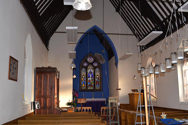 CGX97.jpg Preparing for Christmas. (taken 15.12.2017) |
||
|
|
||
| evidence:- | old map:- OS County Series (Cmd 28 12) placename:- Christ Church |
|
| source data:- | Maps, County Series maps of Great Britain, scales 6 and 25
inches to 1 mile, published by the Ordnance Survey, Southampton,
Hampshire, from about 1863 to 1948. "Christ Church (Chapel of Ease)" |
|
|
|
||
| evidence:- | old map:- Nurse 1918 |
|
| source data:- | Map, The Diocese of Carlisle, Cumberland, Westmorland, and
Lancashire North of the Sands, scale about 4 miles to 1 inch, by
Rev Euston J Nurse, published by Charles Thurnam and Sons, 11
English Street, Carlisle, Cumberland, 2nd edn 1939.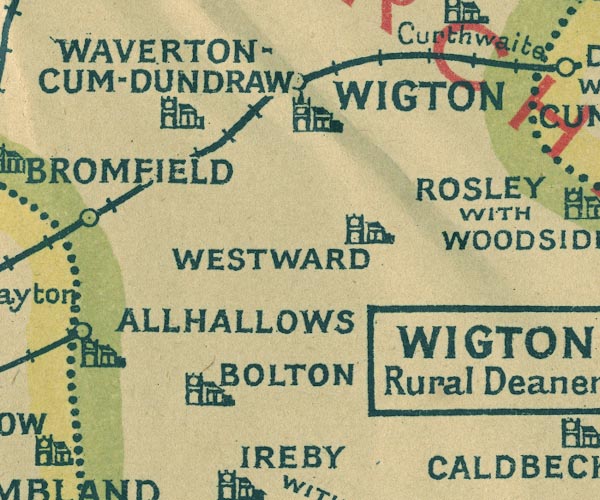 NUR1NY24.jpg "WAVERTON-CUM-DUNDRAW" item:- JandMN : 27 Image © see bottom of page |
|
|
|
||
 notes about bells notes about bells |
||
|
|
||
| stained glass |
||
|
|
||
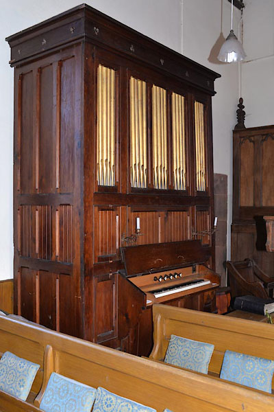 CGY02.jpg Organ. (taken 15.12.2017) 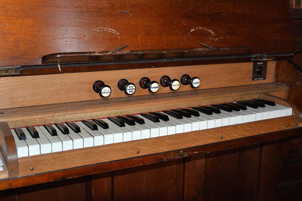 CGY03.jpg Organ, keyboard. (taken 15.12.2017) |
||
|
|
||
 CGY04.jpg Old photograph. (taken 15.12.2017) |
||
|
|
||
| hearsay:- |
The church was built as a chapel to St Mary's Church, Wigton, designed by Charles
Eaglesfield, Maryport, and dedicated in 1865. The design is the then fashioable Vicorian
Early English style. The parish of Waverton-cum-Dundraw was established in 1902, and
this became the parish church. |
|
| :: church leaflet |
||
|
|
||
| dedication | ||
| person:- | : Christ |
|
| place:- | Waverton / Carlisle Diocese | |
|
|
||
 Lakes Guides menu.