 |
 |
|
|
|
|
Coupland |
| civil parish:- |
Warcop (formerly Westmorland) |
| county:- |
Cumbria |
| locality type:- |
locality |
| locality type:- |
buildings |
| coordinates:- |
NY71071888 (etc) |
| 1Km square:- |
NY7118 |
| 10Km square:- |
NY71 |
|
|
| evidence:- |
old map:- OS County Series (Wmd 15 4)
placename:- Coupland
|
| source data:- |
Maps, County Series maps of Great Britain, scales 6 and 25
inches to 1 mile, published by the Ordnance Survey, Southampton,
Hampshire, from about 1863 to 1948.
|
|
|
| places:- |
 |
NY70971897 Coupland Castle (Murton) |
|
|
|
NY71111887 Coupland Beck Farm (Warcop) |
|
|
|
NY71041888 Couplandbeck Bridge (Warcop / Murton) |
|
|
|
NY71131884 Dun Cow (Warcop) |
|
|
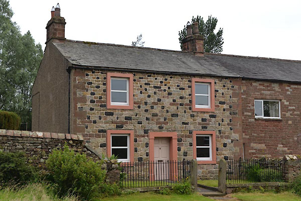 |
NY71111881 house, Coupland (Warcop) |
|
|
|
NY70991915 mill, Coupland (Murton) |
|
|
|
NY71381856 Sandford Thorn (Warcop) |
|
|
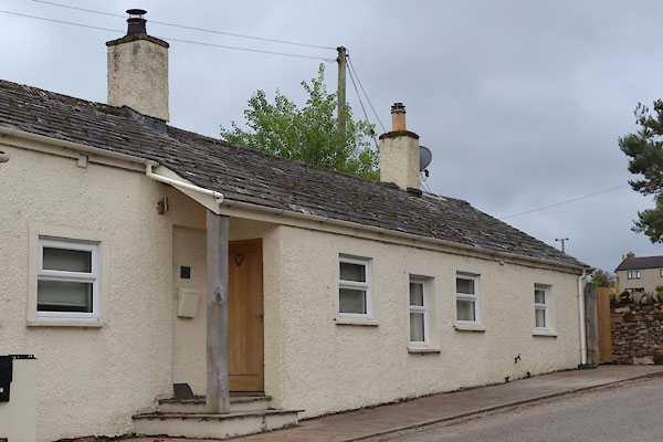 |
NY71211876 Toll Bar Cottage (Warcop) |
|
