 Old Cumbria Gazetteer
 |
 |
|
| Cowbound, Orton S | ||
| Cowbound | ||
| civil parish:- | Orton S (formerly Westmorland) | |
| county:- | Cumbria | |
| locality type:- | locality | |
| coordinates:- | NY64820379 (etc) | |
| 1Km square:- | NY6403 | |
| 10Km square:- | NY60 | |
|
|
||
| evidence:- | old map:- OS County Series (Wmd 29 9) placename:- Cowbound |
|
| source data:- | Maps, County Series maps of Great Britain, scales 6 and 25
inches to 1 mile, published by the Ordnance Survey, Southampton,
Hampshire, from about 1863 to 1948. |
|
|
|
||
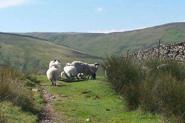 BTJ12.jpg Sheep. (taken 16.8.2010) 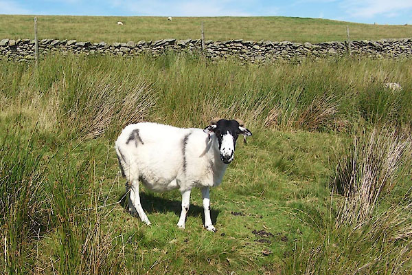 BTJ13.jpg Rough Fell sheep; the smit mark might be from Archer Hill Farm? (taken 16.8.2010) |
||
|
|
||
 Lakes Guides menu.