 Old Cumbria Gazetteer
 |
 |
|
| Crook Foot, Crook | ||
| Crook Foot | ||
| Street:- | Hartley Gate | |
| civil parish:- | Crook (formerly Westmorland) | |
| county:- | Cumbria | |
| locality type:- | buildings | |
| locality type:- | locality | |
| coordinates:- | SD43189349 | |
| 1Km square:- | SD4393 | |
| 10Km square:- | SD49 | |
|
|
||
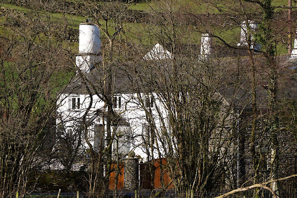 CEO13.jpg (taken 10.2.2016) 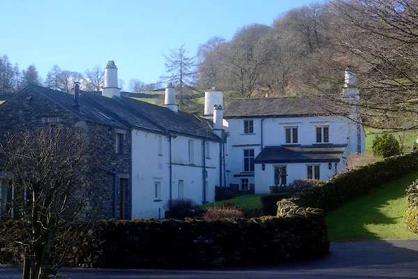 CEO12.jpg (taken 10.2.2016) |
||
|
|
||
| evidence:- | old map:- OS County Series (Wmd 37 4) placename:- Low End of Crook placename:- End of Crook, Low |
|
| source data:- | Maps, County Series maps of Great Britain, scales 6 and 25
inches to 1 mile, published by the Ordnance Survey, Southampton,
Hampshire, from about 1863 to 1948. |
|
|
|
||
| evidence:- | database:- Listed Buildings 2010 placename:- Crook Foot Farm |
|
| source data:- | courtesy of English Heritage "CROOK FOOT FARMHOUSE AND COTTAGE / / / CROOK / SOUTH LAKELAND / CUMBRIA / II / 76387 / SD4318493492" |
|
|
|
||
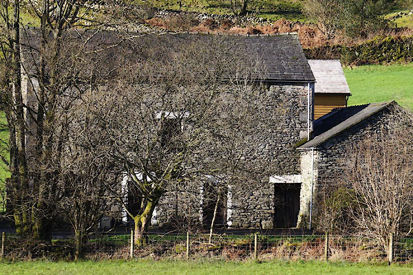 CEO14.jpg Barn. (taken 10.2.2016) |
||
|
|
||
 Lakes Guides menu.