 Old Cumbria Gazetteer
 |
 |
|
| Crook, Sedbergh | ||
| Crook | ||
| locality:- | Soolbank | |
| locality:- | Howgill Fells | |
| civil parish:- | Sedbergh (formerly Yorkshire) | |
| county:- | Cumbria | |
| locality type:- | hill | |
| coordinates:- | SD66469355 (etc) | |
| 1Km square:- | SD6693 | |
| 10Km square:- | SD69 | |
|
|
||
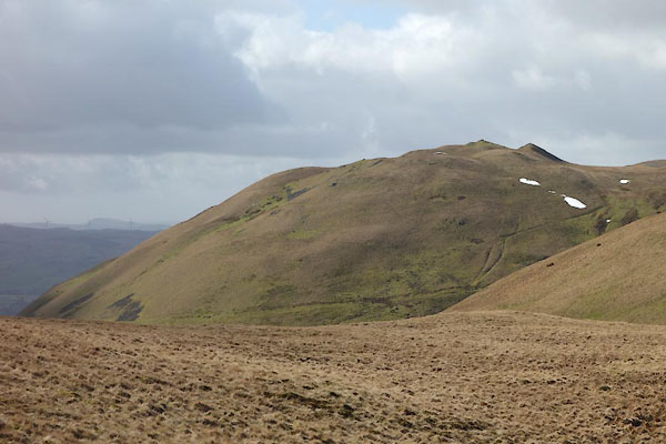 CCP46.jpg (taken 10.3.2015) 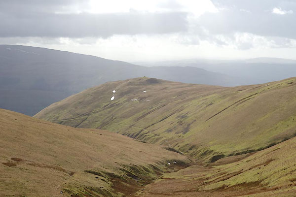 CCP47.jpg (taken 10.3.2015) |
||
|
|
||
| evidence:- | old map:- Jefferys 1770 (Wmd) placename:- Crook |
|
| source data:- | Map, 4 sheets, The County of Westmoreland, scale 1 inch to 1
mile, surveyed 1768, and engraved and published by Thomas
Jefferys, London, 1770.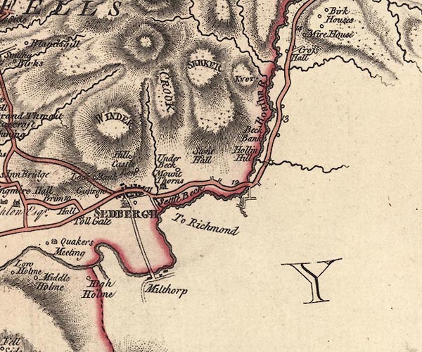 J5SD69SE.jpg "CROOK" hill hachuring; hill or mountain item:- National Library of Scotland : EME.s.47 Image © National Library of Scotland |
|
|
|
||
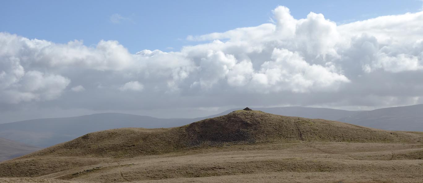 Click to enlarge CCP48.jpg (taken 10.3.2015) 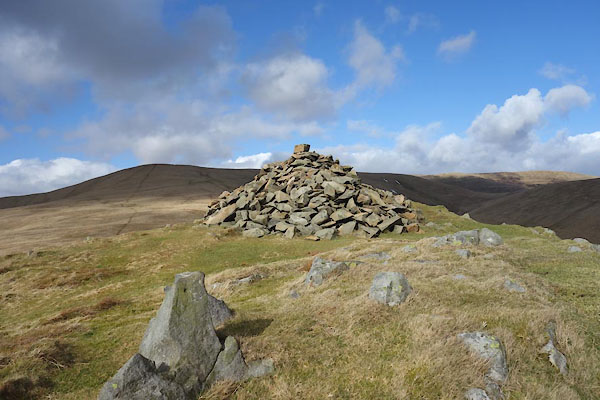 CCP51.jpg Cairn. (taken 10.3.2015) |
||
|
|
||
 Lakes Guides menu.