 Old Cumbria Gazetteer
 |
 |
|
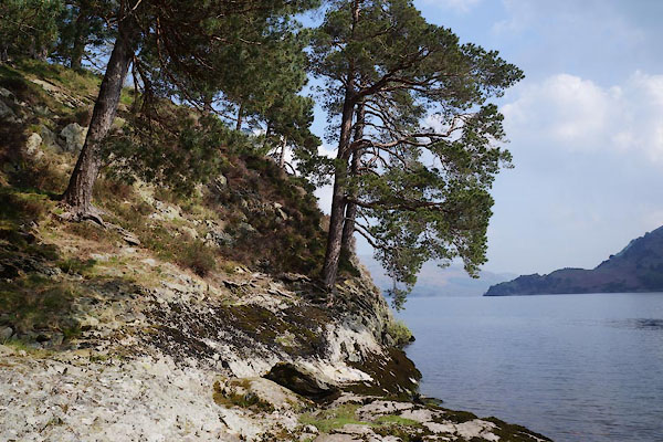
| Cross How Crag, Patterdale | ||
| Cross How Crag | ||
| civil parish:- | Patterdale (formerly Westmorland) | |
| county:- | Cumbria | |
| locality type:- | rocks | |
| coordinates:- | NY38801770 (?) | |
| 1Km square:- | NY3817 | |
| 10Km square:- | NY31 | |
|
|
||
 CAM16.jpg (taken 29.4.2014) 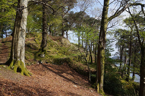 CAM15.jpg (taken 29.4.2014) |
||
|
|
||
| evidence:- | old map:- Crosthwaite 1783-94 (Ull) placename:- Cross How Crag |
|
| source data:- | Map, uncoloured engraving, Accurate Map of the Beautiful Lake of
Ullswater, scale about 3 inches to 1 mile, by Peter Crosthwaite,
Keswick, Cumberland, 1783, version published 1800.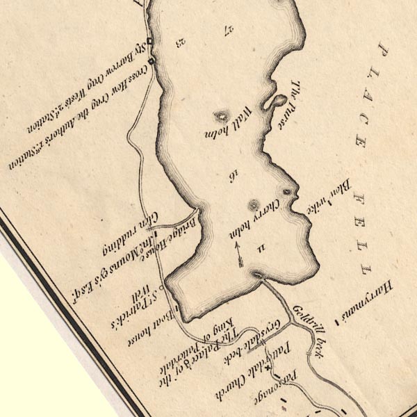 CT5NY31Y.jpg "Cross How Crag / the Author's 1st. Station" item:- Armitt Library : 1959.191.7 Image © see bottom of page |
|
|
|
||
 Lakes Guides menu.