 Old Cumbria Gazetteer
 |
 |
|
| Cumbria | ||
| SummaryText:- | The new county, created by Local Government Reorganisation 1974, comprises the old counties of Cumberland, Westmorland, Lancashire north of the Sands, and a small part of Yorkshire. | |
| SummaryText:- | Measuring from the false origin of the NGR coordinate system: west to east is from 293 to 390Km = 97Km; south to north is from 461 to 589Km = 128Km. | |
| SummaryText:- | In lat/long the county of Cumbria extends from | |
| SummaryText:- | 2d 9.5m W in Stainmore to 3d 38.3m W on St Bees Head | |
| SummaryText:- | 54d 2.6m N on Walney Island to 55d 11.3m N in Kershope Forest | |
| SummaryText:- | The county borders on Dumfries and Galloway Region, and Borders Region, Scotland to the north; Northumberland, Durham, and North Yorkshire to the east; on Lancashire to the South; and the Irish Sea on the west. | |
| references:- | OS 1974 Admin Areas |
|
|
|
||
| evidence:- | census:- Census 1971 |
|
| source data:- | Census returns, published by HMSO, London, for 1971. |
|
|
|
||
| evidence:- | boundary map:- County Boundaries 2006 |
|
| source data:- | 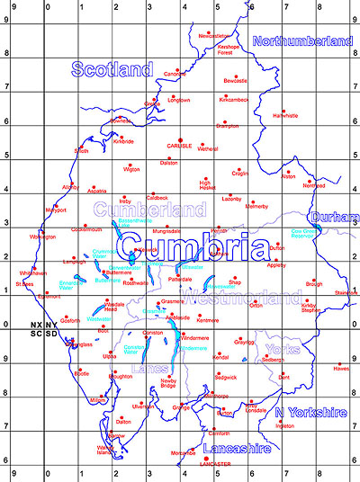 click to enlarge click to enlargeCumbriaS.jpg County Boundary Map, created by Jean Norgate 2006 |
|
|
|
||
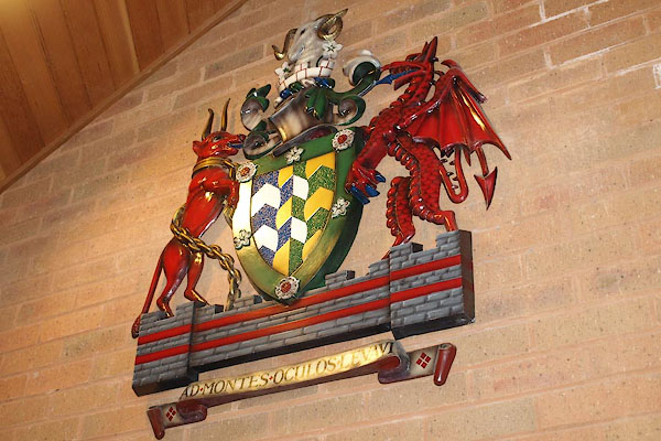 BRI52.jpg Coat of arms; displayed at fire brigade HQ, Cockermouth. (taken 2.9.2009) 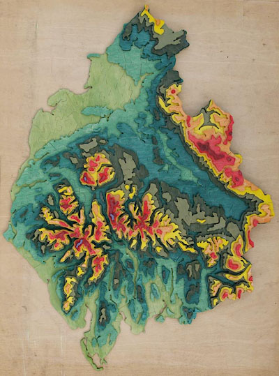 BPY50.jpg 3D Map jigsaw 54cmx72cm; made by Martin Norgate (Norgate 2009) (taken 26.1.2009) |
||
|
|
||
| twinned with:- |  Rheinisch-Bergischer Kreis, Germany Rheinisch-Bergischer Kreis, Germany |
|
|
|
||
| old county:- | Westmorland |
|
|
|
||
| old county:- | Cumberland |
|
|
|
||
| old county:- | Lancashire |
|
|
|
||
| old county:- | West Yorkshire |
|
|
|
||
Lakes Guides menu.