 |
 |
|
|
|
|
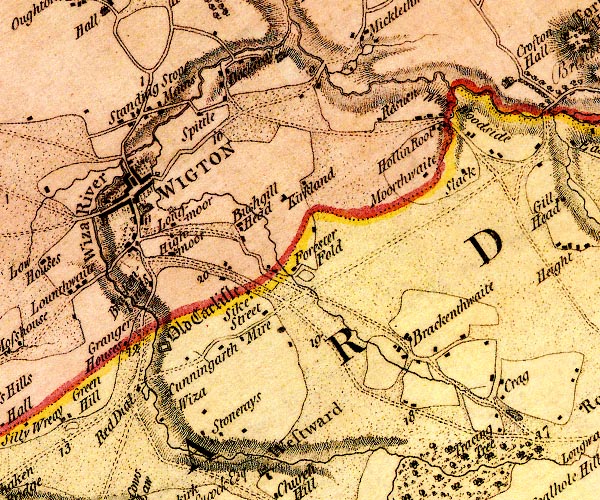
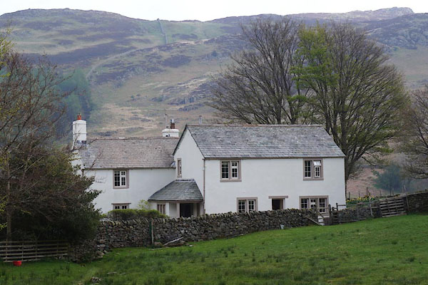
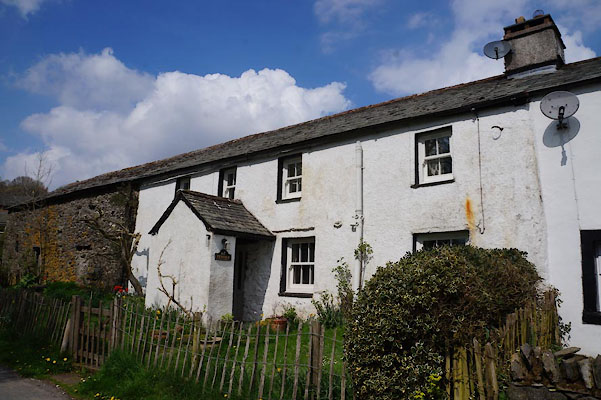
Dockray |
| civil parish:- |
Woodside (formerly Cumberland) |
| county:- |
Cumbria |
| locality type:- |
locality |
| locality type:- |
buildings |
| coordinates:- |
NY26704984 (etc) |
| 1Km square:- |
NY2649 |
| 10Km square:- |
NY24 |
|
|
| evidence:- |
old map:- OS County Series (Cmd 29 2)
placename:- Dockray
|
| source data:- |
Maps, County Series maps of Great Britain, scales 6 and 25
inches to 1 mile, published by the Ordnance Survey, Southampton,
Hampshire, from about 1863 to 1948.
|
|
|
| evidence:- |
old map:- Donald 1774 (Cmd)
placename:- Dockeray
|
| source data:- |
Map, hand coloured engraving, 3x2 sheets, The County of Cumberland, scale about 1
inch to 1 mile, by Thomas Donald, engraved and published by Joseph Hodskinson, 29
Arundel Street, Strand, London, 1774.
D4NY24NE.jpg
"Dockeray"
block or blocks, labelled in lowercase; a hamlet or just a house and house
item:- Carlisle Library : Map 2
Image © Carlisle Library |
|
|
| places:- |
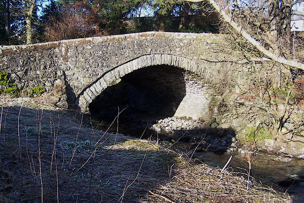 |
NY39282158 bridge, Dockray (Matterdale) |
|
|
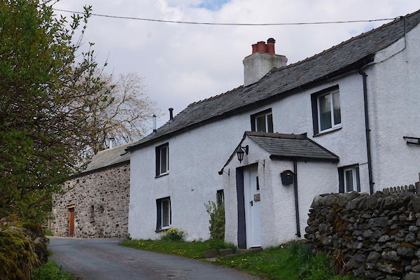 |
NY39102156 Dodd's Lee (Matterdale) |
|
|
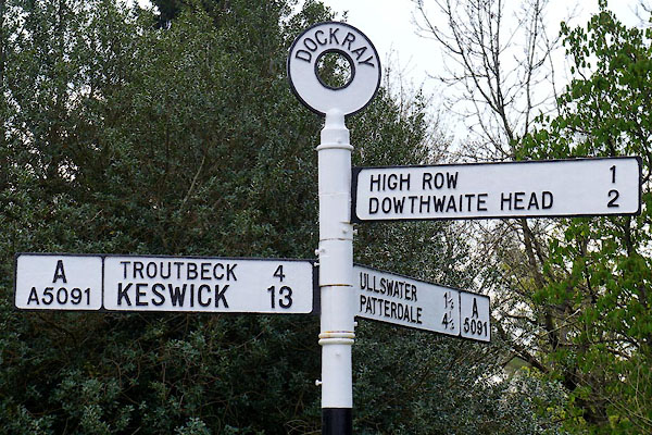 |
NY39282160 fingerpost, Dockray (Matterdale) |
|
|
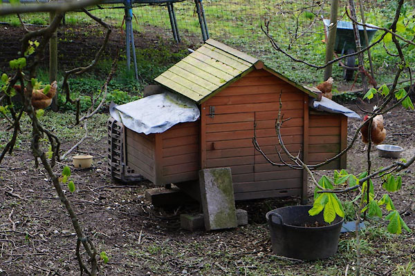 |
NY39302159 hen house, Dockray (Matterdale) |
|
|
 |
NY39392170 Hollins Farm (Matterdale) L |
|
|
 |
NY39162152 mill, Dockray (Matterdale) |
|
|
|
NY39692158 mill, Dockray (2) (Matterdale) |
|
|
|
NY38692167 Millses (Matterdale) |
|
|
 |
NY39342163 Mountain View (Matterdale) |
|
|
 |
NY348228 Old Coach Road (Matterdale / Threlkeld / St John's Castlerigg and Wythburn) |
|
|
 |
NY39642131 Parkgate Farm (Matterdale) |
|
|
 |
NY39132154 Penfold Farm (Matterdale) |
|
|
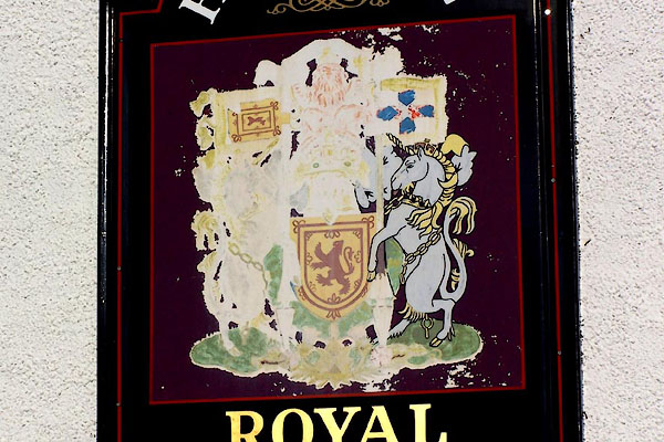 |
NY39272162 Royal Hotel (Matterdale) |
|
