 Old Cumbria Gazetteer
 |
 |
|
| Dodd, Loweswater | ||
| Dodd | ||
| civil parish:- | Loweswater (formerly Cumberland) | |
| county:- | Cumbria | |
| locality type:- | hill | |
| coordinates:- | NY16381575 | |
| 1Km square:- | NY1615 | |
| 10Km square:- | NY11 | |
| altitude:- | 2103 feet | |
| altitude:- | 641m | |
|
|
||
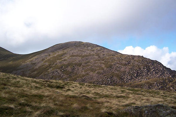 BVQ07.jpg (taken 1.11.2011) |
||
|
|
||
| evidence:- | outline view:- Otley 1823 (8th edn 1849) placename:- Dod |
|
| source data:- | Engraving, outline view of mountains, Crummock and Buttermere from the Road near Loweswater
Church, drawn by T Binns, engraved by O Jewitt, opposite p.18 of A Descriptive Guide
of the English Lakes, by Jonathan Otley, 8th edition, 1849.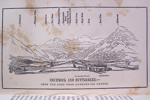 click to enlarge click to enlargeO80E10.jpg item:- Armitt Library : A1180.11 Image © see bottom of page |
|
|
|
||
 Lakes Guides menu.