 Old Cumbria Gazetteer
 |
 |
|
| Doddick Fell, Threlkeld | ||
| Doddick Fell | ||
| locality:- | Saddleback | |
| locality:- | Doddick | |
| civil parish:- | Threlkeld (formerly Cumberland) | |
| county:- | Cumbria | |
| locality type:- | hill | |
| locality type:- | fell | |
| coordinates:- | NY33262728 (etc) | |
| 1Km square:- | NY3327 | |
| 10Km square:- | NY32 | |
|
|
||
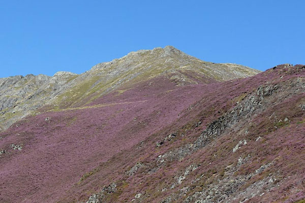 CBO02.jpg (taken 26.8.2014) 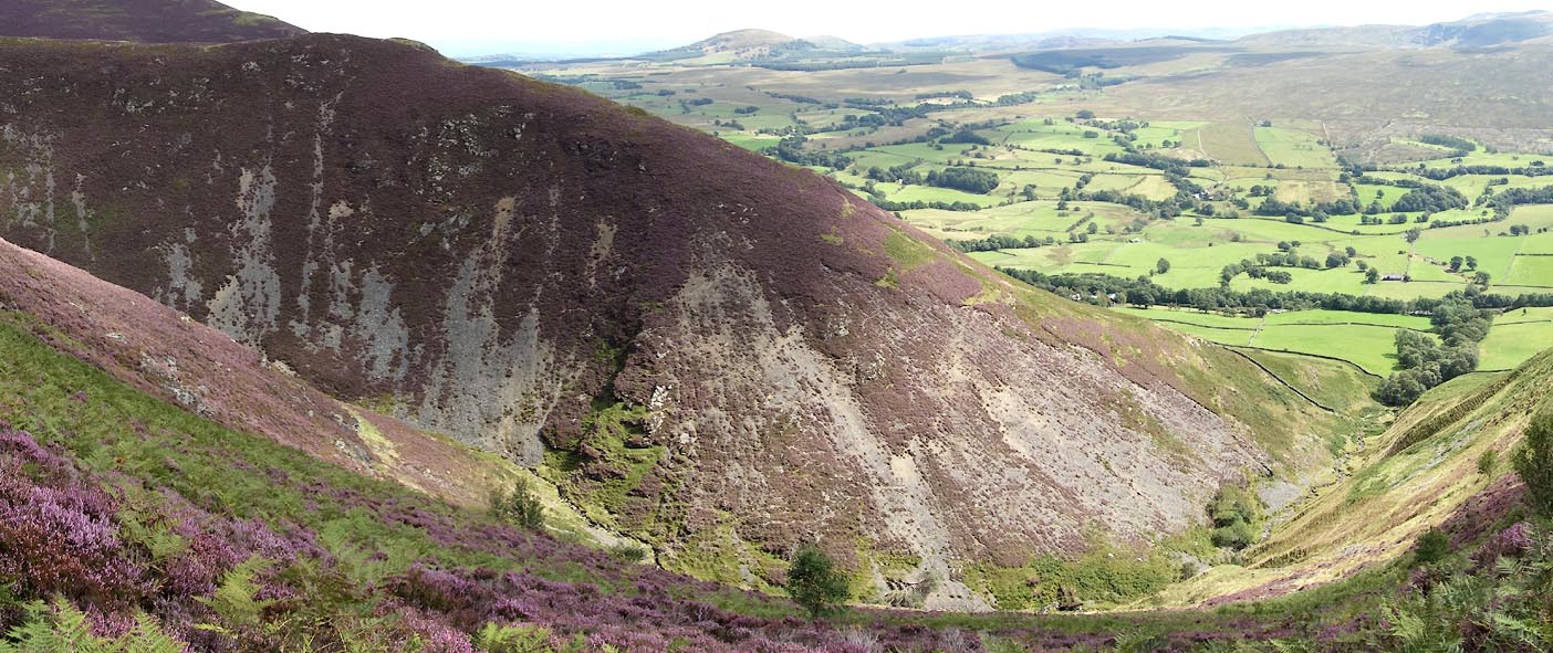 Click to enlarge CBO09.jpg (taken 26.8.2014) |
||
|
|
||
| evidence:- | old map:- OS County Series (Cmd 57 9) placename:- Doddick Fell |
|
| source data:- | Maps, County Series maps of Great Britain, scales 6 and 25
inches to 1 mile, published by the Ordnance Survey, Southampton,
Hampshire, from about 1863 to 1948. |
|
|
|
||
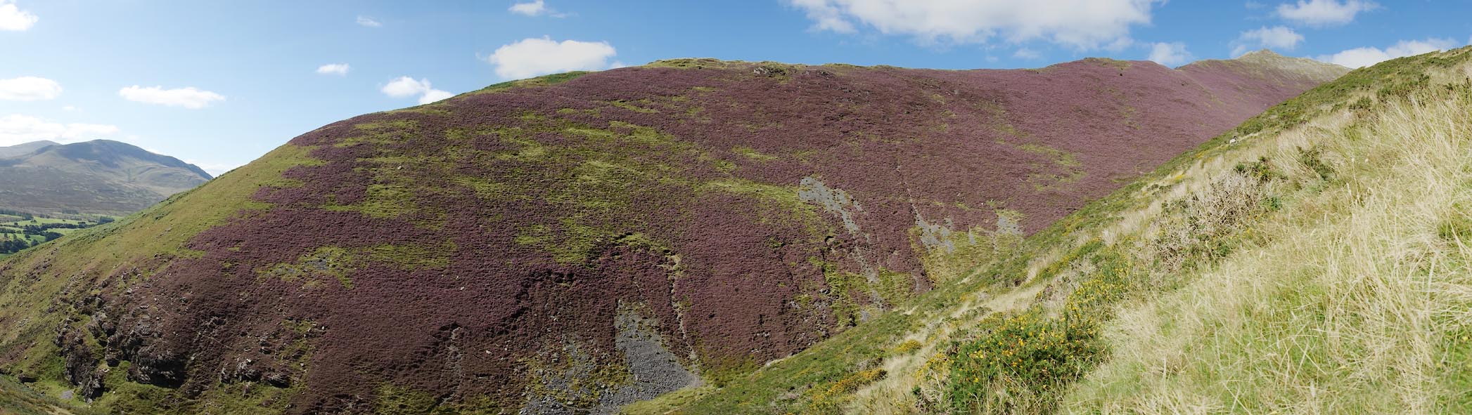 Click to enlarge CBN93.jpg (taken 26.8.2014) 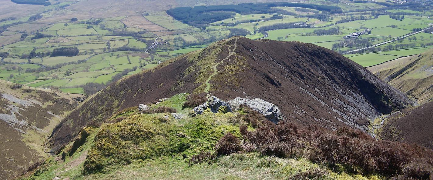 Click to enlarge BWD89.jpg (taken 26.3.2012) 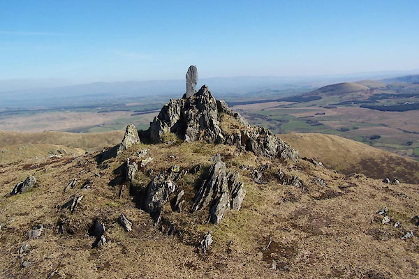 BWD94.jpg Marker for the path down. (taken 26.3.2012) |
||
|
|
||
 Lakes Guides menu.