 Old Cumbria Gazetteer
 |
 |
|
| Doups, Underskiddaw | ||
| Doups | ||
| site name:- | Carsleddam | |
| civil parish:- | Underskiddaw (formerly Cumberland) | |
| county:- | Cumbria | |
| locality type:- | locality | |
| locality type:- | rocks | |
| coordinates:- | NY25512666 (etc) | |
| 1Km square:- | NY2526 | |
| 10Km square:- | NY22 | |
|
|
||
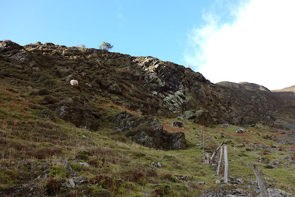 BZT40.jpg (taken 28.12.2013) 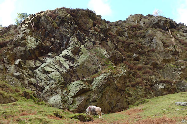 BZT41.jpg (taken 28.12.2013) |
||
|
|
||
| evidence:- | old map:- OS County Series (Cmd 56 14) placename:- Doups |
|
| source data:- | Maps, County Series maps of Great Britain, scales 6 and 25
inches to 1 mile, published by the Ordnance Survey, Southampton,
Hampshire, from about 1863 to 1948. |
|
|
|
||
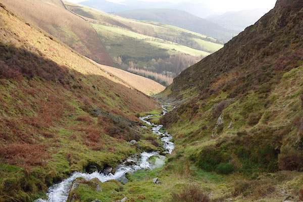 BZT45.jpg Unnamed beck by Doups. (taken 28.12.2013) |
||
|
|
||
| MN photo:- |
A reindeer lichen, perhaps Cladonia portentosa |
|
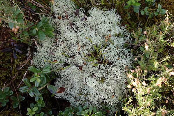 BZT46.jpg Lichen (taken 28.12.2013) 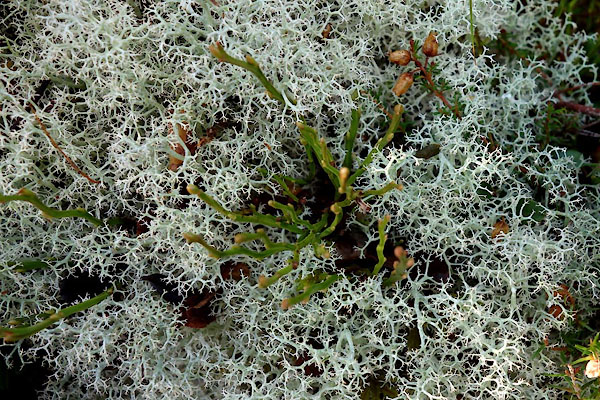 BZT47.jpg Lichen (taken 28.12.2013) 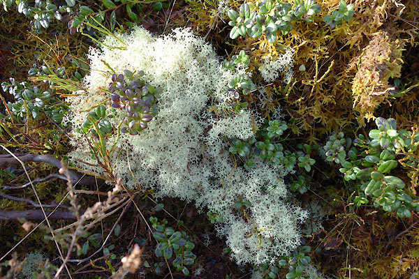 BZT48.jpg Lichen (taken 28.12.2013) 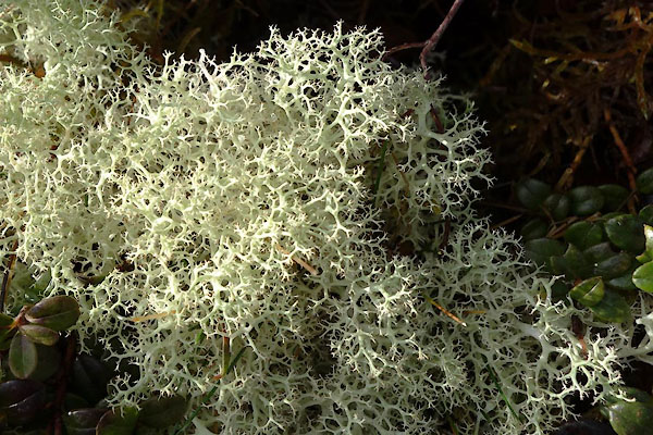 BZT49.jpg Lichen (taken 28.12.2013) 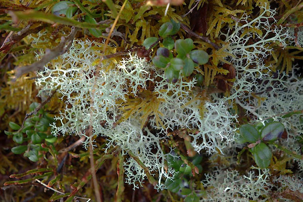 BZT50.jpg Lichen (taken 28.12.2013) |
||
|
|
||
 Lakes Guides menu.