 Old Cumbria Gazetteer
 |
 |
|
| Eden Estuary | ||
| runs into:- |  Solway Firth Solway Firth |
|
|
|
||
| civil parish:- | Bowness (formerly Cumberland) | |
| county:- | Cumbria | |
| locality type:- | estuary | |
| locality type:- | river estuary | |
| 1Km square:- | NY1963 (etc) | |
| 10Km square:- | NY16 | |
|
|
||
| evidence:- | old map:- Speed 1611 (Cmd) placename:- Eden flude |
|
| source data:- | Map, hand coloured engraving, Cumberland and the Ancient Citie
Carlile Described, scale about 4 miles to 1 inch, by John Speed,
1610, published by J Sudbury and George Humble, Popes Head
Alley, London, 1611-12.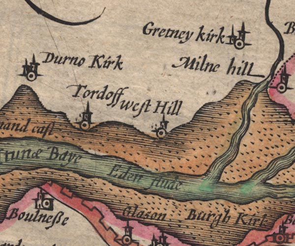 SP11NY26.jpg "Eden flude" river channel between foreshore sands item:- private collection : 16 Image © see bottom of page |
|
|
|
||
| evidence:- | old text:- Gents Mag item:- foreshore sands |
|
| source data:- | Magazine, The Gentleman's Magazine or Monthly Intelligencer or
Historical Chronicle, published by Edward Cave under the
pseudonym Sylvanus Urban, and by other publishers, London,
monthly from 1731 to 1922. goto source Gentleman's Magazine 1748 p.4 "... It is to be remark'd that the river Eden has of late years kept almost close under the Scotch shore, but its course is constantly varying by the rapidity of land floods at low ebbs, thro' such a soft and slimy sand, that no chart can be given with certainty of its fresh water course; besides, the sands are extremely uncertain and dangerous to enter upon." |
|
|
|
||
| evidence:- | descriptive text:- Simpson 1746 placename:- Mouth of the River Eden placename:- Hunae Ostium |
|
| source data:- | Atlas, three volumes of maps and descriptive text published as
'The Agreeable Historian, or the Compleat English Traveller
...', by Samuel Simpson, 1746. goto source "..." "On the N.W. of Carlisle, there juts out a small Promontory, at the Point of which is the large Arm of the Sea, call'd Solway-Frith, or Hunae-Ostium i.e., the Mouth of the River Eden. It is, at present, the Boundary between England and Scotland, but anciently between the Roman Provinces and the Picts." |
|
|
|
||
| evidence:- | old map:- Bowen and Kitchin 1760 |
|
| source data:- | Map, hand coloured engraving, A New Map of the Counties of
Cumberland and Westmoreland Divided into their Respective Wards,
scale about 4 miles to 1 inch, by Emanuel Bowen and Thomas
Kitchin et al, published by T Bowles, Robert Sayer, and John
Bowles, London, 1760.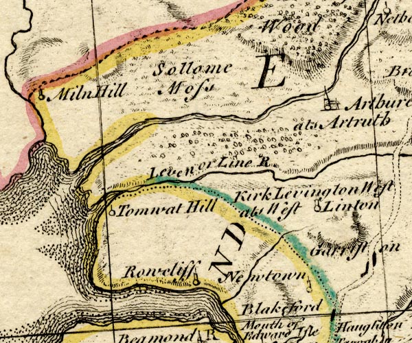 BO18NY36.jpg river mouth item:- Armitt Library : 2008.14.10 Image © see bottom of page |
|
|
|
||
Lakes Guides menu.