 Old Cumbria Gazetteer
 |
 |
|
| Eskholme Pike, Middleton | ||
| Eskholme Pike | ||
| locality:- | Thorn Moor | |
| civil parish:- | Middleton (formerly Westmorland) | |
| county:- | Cumbria | |
| locality type:- | hill | |
| coordinates:- | SD63988330 (etc) | |
| 1Km square:- | SD6383 | |
| 10Km square:- | SD68 | |
| altitude:- | 1007 feet | |
| altitude:- | 307m | |
|
|
||
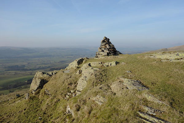 BXX44.jpg and cairn. (taken 18.2.2013) 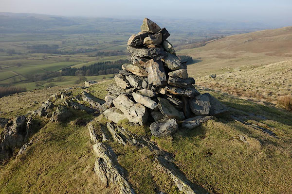 BXX45.jpg Cairn. (taken 18.2.2013) |
||
|
|
||
| evidence:- | old map:- OS County Series (Wmd 44 9) placename:- Eskholme Pike |
|
| source data:- | Maps, County Series maps of Great Britain, scales 6 and 25
inches to 1 mile, published by the Ordnance Survey, Southampton,
Hampshire, from about 1863 to 1948. |
|
|
|
||
 Lakes Guides menu.