Old Cumbria Gazetteer
 |
 |
|
||
| Fairmile Beck | ||||
| civil parish:- | Sedbergh (formerly Yorkshire) | |||
| county:- | Cumbria | |||
| locality type:- | river | |||
| 1Km square:- | SD6397 (etc) | |||
| 10Km square:- | SD69 | |||
|
|
||||
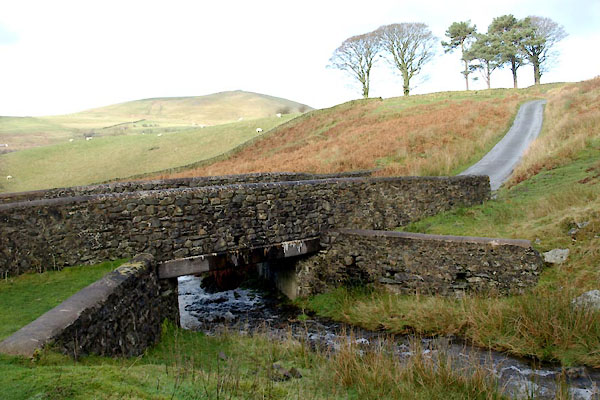
 BXQ98.jpg At the bridge:- (taken 23.11.2012) |
||||
|
|
||||
| evidence:- | old map:- OS County Series (Yrk 48 2) placename:- Fairmile Beck |
|||
| source data:- | Maps, County Series maps of Great Britain, scales 6 and 25
inches to 1 mile, published by the Ordnance Survey, Southampton,
Hampshire, from about 1863 to 1948. |
|||
|
|
||||
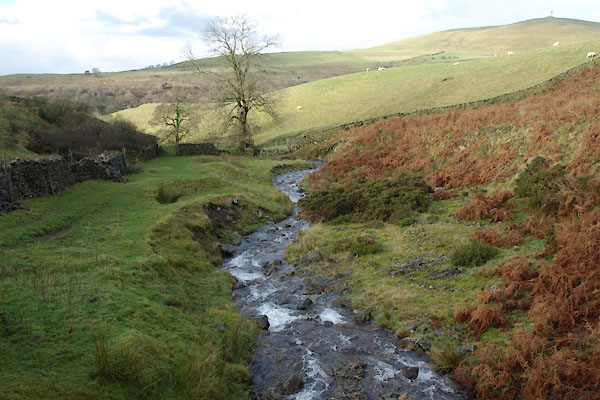
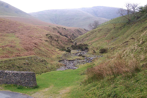 BNP41.jpg (taken 18.4.2007) 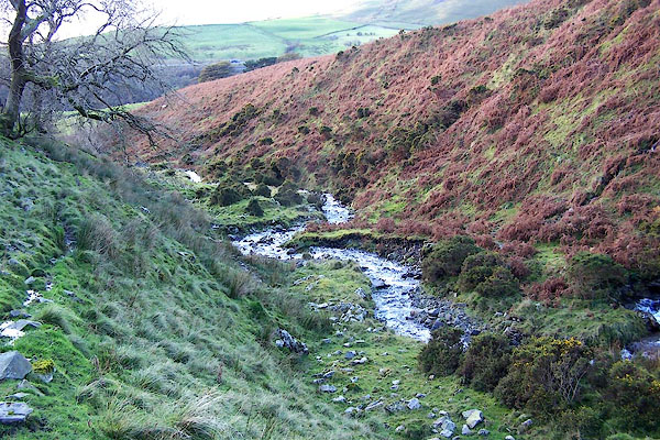 BPU04.jpg (taken 27.10.2008) |
||||
|
|
||||
| places:- |
|
|||
|
||||
 Lakes Guides menu.