Old Cumbria Gazetteer
 |
 |
|
||
| Fall Beck | ||||
| runs into:- |  Peasey Beck Peasey Beck |
|||
|
|
||||
| civil parish:- | Preston Patrick (formerly Westmorland) | |||
| civil parish:- | Old Hutton and Holmescales (formerly Westmorland) | |||
| county:- | Cumbria | |||
| locality type:- | river | |||
| locality type:- | boundary | |||
| locality type:- | parish boundary | |||
| 1Km square:- | SD5586 (etc) | |||
| 10Km square:- | SD58 | |||
|
|
||||
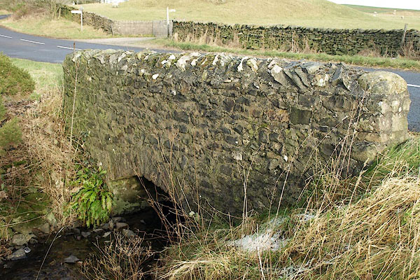
 BPW40.jpg At the bridge. on a cold morning. (taken 2.1.2009) |
||||
|
|
||||
| evidence:- | old map:- OS County Series (Wmd 43 6) placename:- Fall Beck |
|||
| source data:- | Maps, County Series maps of Great Britain, scales 6 and 25
inches to 1 mile, published by the Ordnance Survey, Southampton,
Hampshire, from about 1863 to 1948. |
|||
|
|
||||
| places:- |
|
|||
|
||||
Lakes Guides menu.