 Old Cumbria Gazetteer
 |
 |
|
| Fleshbeck, Mansergh | ||
| Fleshbeck | ||
| civil parish:- | Mansergh (formerly Westmorland) | |
| county:- | Cumbria | |
| locality type:- | buildings | |
| coordinates:- | SD61078342 | |
| 1Km square:- | SD6183 | |
| 10Km square:- | SD68 | |
|
|
||
| evidence:- | old map:- OS County Series (Wmd 43 12) placename:- Fleshbeck |
|
| source data:- | Maps, County Series maps of Great Britain, scales 6 and 25
inches to 1 mile, published by the Ordnance Survey, Southampton,
Hampshire, from about 1863 to 1948. |
|
|
|
||
| evidence:- | old map:- Jefferys 1770 (Wmd) placename:- Flesh Beck |
|
| source data:- | Map, 4 sheets, The County of Westmoreland, scale 1 inch to 1
mile, surveyed 1768, and engraved and published by Thomas
Jefferys, London, 1770.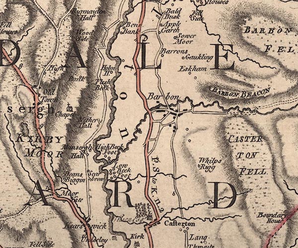 J5SD68SW.jpg "Flesh Beck" circle, labelled in italic lowercase text; settlement, farm, house, or hamlet? item:- National Library of Scotland : EME.s.47 Image © National Library of Scotland |
|
|
|
||
| evidence:- | database:- Listed Buildings 2010 placename:- Fleshbeck item:- date stone (1717) |
|
| source data:- | courtesy of English Heritage "FLESHBECK / / / MANSERGH / SOUTH LAKELAND / CUMBRIA / II / 75707 / SD6107183424" |
|
|
|
||
| evidence:- | database:- Listed Buildings 2010 item:- date stone |
|
| source data:- | courtesy of English Heritage "OUTBUILDING APPROXIMATELY 20 METRES TO SOUTH-EAST OF FLESHBECK / / / MANSERGH / SOUTH LAKELAND / CUMBRIA / II / 75708 / SD6108883408" |
|
|
|
||
| evidence:- | database:- Listed Buildings 2010 |
|
| source data:- | courtesy of English Heritage "BARN APPROXIMATELY 30 METRES TO SOUTH OF FLESHBECK / / / MANSERGH / SOUTH LAKELAND / CUMBRIA / II / 75709 / SD6107483389" |
|
|
|
||
 Lakes Guides menu.