 Old Cumbria Gazetteer
 |
 |
|
| Gale Garth, Dent | ||
| Gale Garth | ||
| Street:- | Brackensgill Lane | |
| locality:- | Dentdale | |
| civil parish:- | Dent (formerly Yorkshire) | |
| county:- | Cumbria | |
| locality type:- | buildings | |
| coordinates:- | SD66508943 | |
| 1Km square:- | SD6689 | |
| 10Km square:- | SD68 | |
|
|
||
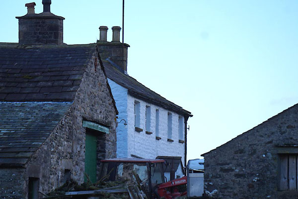 CCE03.jpg (taken 5.12.2014) 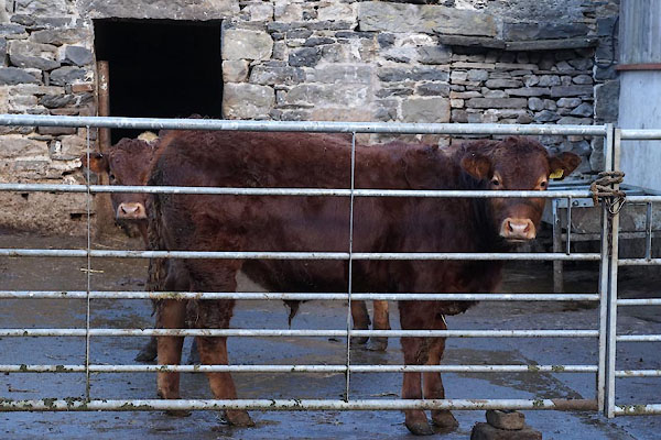 CCE02.jpg Bullocks. (taken 5.12.2014) |
||
|
|
||
| evidence:- | old map:- OS County Series (Yrk 63 8) placename:- Gale Garth |
|
| source data:- | Maps, County Series maps of Great Britain, scales 6 and 25
inches to 1 mile, published by the Ordnance Survey, Southampton,
Hampshire, from about 1863 to 1948. |
|
|
|
||
| evidence:- | database:- Listed Buildings 2010 placename:- Gale Garth Farm |
|
| source data:- | courtesy of English Heritage "GALE GARTH FARMHOUSE / / / DENT / SOUTH LAKELAND / CUMBRIA / II / 484296 / SD6650689439" |
|
|
|
||
| evidence:- | database:- Listed Buildings 2010 |
|
| source data:- | courtesy of English Heritage "BARN APPROXIMATELY 5 METRES SOUTH OF GALE GARTH FARMHOUSE / / / DENT / SOUTH LAKELAND / CUMBRIA / II / 484297 / SD6649989427" |
|
|
|
||
| evidence:- | database:- Listed Buildings 2010 |
|
| source data:- | courtesy of English Heritage "BARN LINKED TO WEST END OF GALE GARTH FARMHOUSE / / / DENT / SOUTH LAKELAND / CUMBRIA / II / 484298 / SD6649789443" |
|
|
|
||
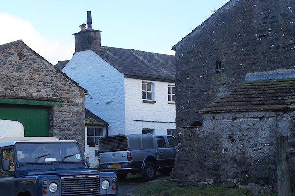 CCE01.jpg (taken 5.12.2014) |
||
|
|
||
 Lakes Guides menu.