

 click to enlarge
Ggh1Cm.jpg
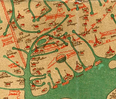
One of the roads on the Gough map is a branch - from Doncaster; ... through Settle, North Yorkshire; XII miles to Kirkby Lonsdale, and VIII miles to Kendal, Westmorland. AND a branch from Kirkby Lonsdale, to Shap, Westmorland.
item:- JandMN : 33
Image © see bottom of page
 click to enlarge
Ggh2Cm.jpg
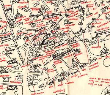
One of the roads on the Gough map is a branch - from Doncaster; ... through Settle, North Yorkshire; XII miles to Kirkby Lonsdale, and VIII miles to Kendal, Westmorland. AND a branch from Kirkby Lonsdale, to Shap, Westmorland.
item:- JandMN : 34
Image © see bottom of page

 Lakes Guides menu.