 Old Cumbria Gazetteer
 |
 |
|
| Gray Crag, Patterdale | ||
| Gray Crag | ||
| civil parish:- | Patterdale (formerly Westmorland) | |
| county:- | Cumbria | |
| locality type:- | rocks | |
| coordinates:- | NY426119 | |
| 1Km square:- | NY4211 | |
| 10Km square:- | NY41 | |
|
|
||
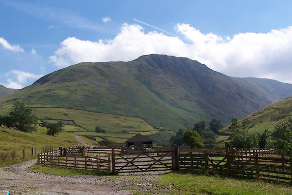 BJS76.jpg (taken 17.8.2005) 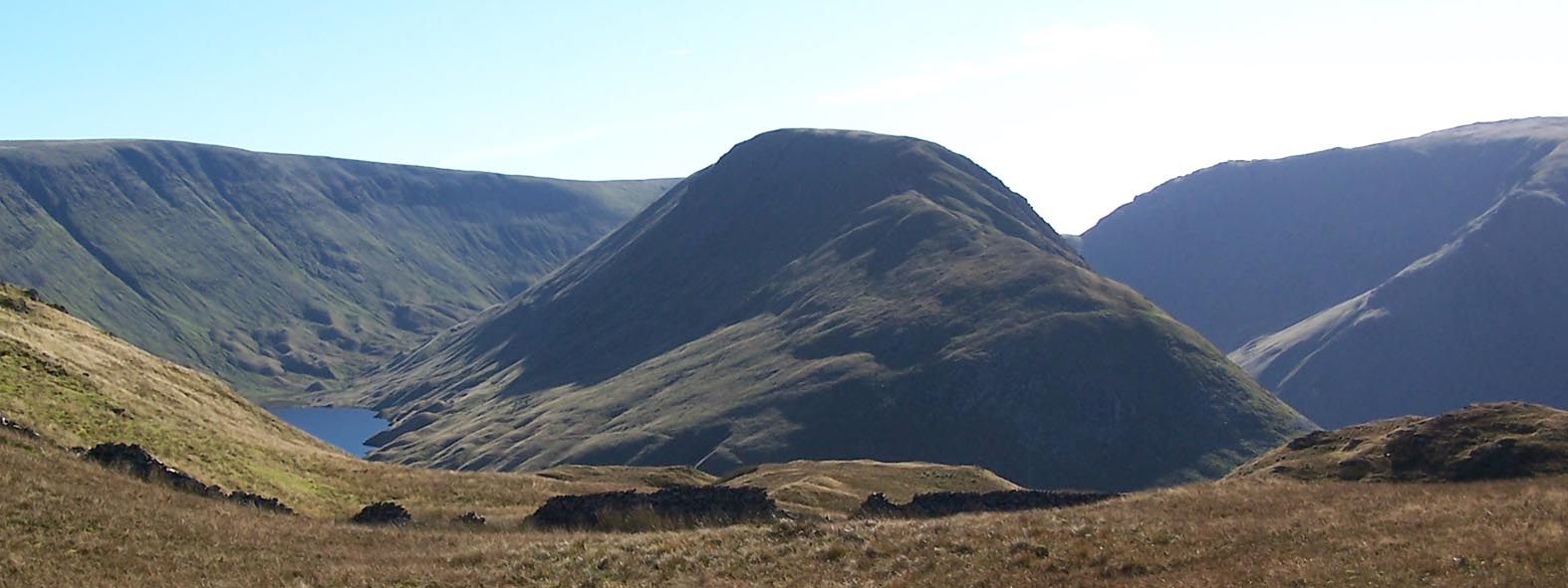 Click to enlarge BTS84.jpg (taken 20.10.2010) |
||
|
|
||
| evidence:- | old map:- Jefferys 1770 (Wmd) |
|
| source data:- | Map, 4 sheets, The County of Westmoreland, scale 1 inch to 1
mile, surveyed 1768, and engraved and published by Thomas
Jefferys, London, 1770.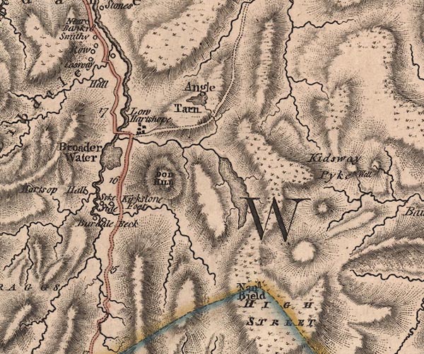 J5NY41SW.jpg hill hachuring; hill or mountain item:- National Library of Scotland : EME.s.47 Image © National Library of Scotland |
|
|
|
||
| evidence:- | outline view:- Black 1856 (23rd edn 1900) placename:- Gray Crag |
|
| source data:- | Print, lithograph, Outline Views, Windermere - Mountains as seen from the North End
of Belle Isle, Windermere, and Mountains as seen from Biscay How, Bowness, by J Flintoft,
Keswick, Cumberland, engraved by R Mason, Edinburgh, Lothian, about 1900.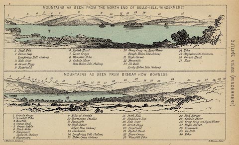 click to enlarge click to enlargeBC08E1.jpg "... 10 Gray Crag on Ayes Water ... 26 Gray Crag on Ayes Water ..." item:- JandMN : 37.4 Image © see bottom of page |
|
|
|
||
| evidence:- | outline view:- Black 1841 (3rd edn 1846) placename:- Gray Crag |
|
| source data:- | Print, engraving, outline view, Mountains as seen from the North End of Belle Isle,
Windermere, and Mountains as seen from Bisket How, Bowness, by J Flintoft, Keswick,
Cumberland, engraved by R Mason, Edinburgh, about 1844.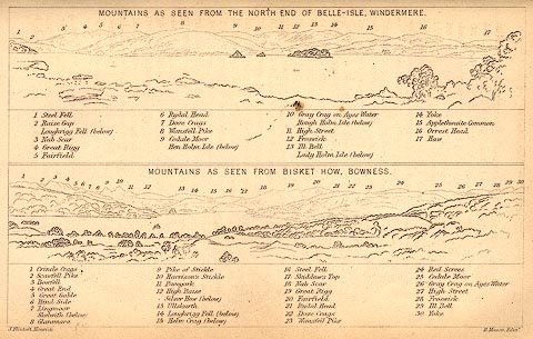 click to enlarge click to enlargeBC02E1.jpg "... 10 Gray Crag on Ayles Water ... 26 Gray Crag on Ayles Water ..." item:- JandMN : 32.3 Image © see bottom of page |
|
|
|
||
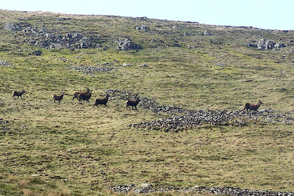 BQK89.jpg Red deer. (taken 16.4.2009) 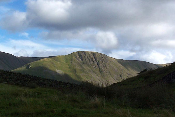 BXI73.jpg (taken 18.9.2012) |
||
|
|
||
 Lakes Guides menu.