 |
 |
|
|
|
|
Green Bank |
| civil parish:- |
Broughton East (formerly Lancashire) |
| county:- |
Cumbria |
| locality type:- |
locality |
| locality type:- |
buildings |
| coordinates:- |
SD37968033 (etc) |
| 1Km square:- |
SD3780 |
| 10Km square:- |
SD38 |
|
|
| evidence:- |
old map:- OS County Series (Lan 12 15)
placename:- Green Bank
|
| source data:- |
Maps, County Series maps of Great Britain, scales 6 and 25
inches to 1 mile, published by the Ordnance Survey, Southampton,
Hampshire, from about 1863 to 1948.
|
|
|
| places:- |
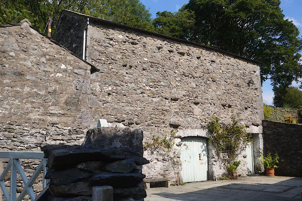 |
SD37948033 barn, Green Bank (Broughton East) |
|
|
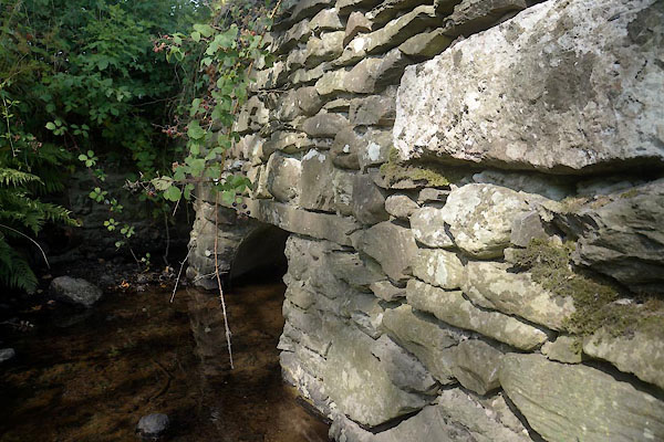 |
SD38218015 bridge, Green Bank (Broughton East) |
|
|
 |
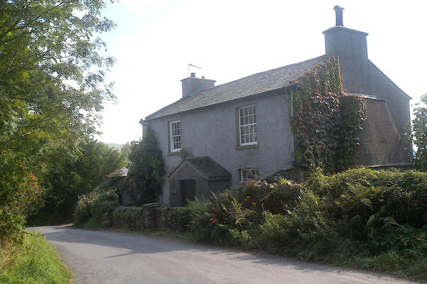
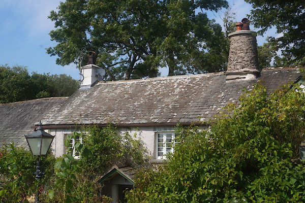
SD38078036 Greenbank Farm (Broughton East) L |
|
|
 |
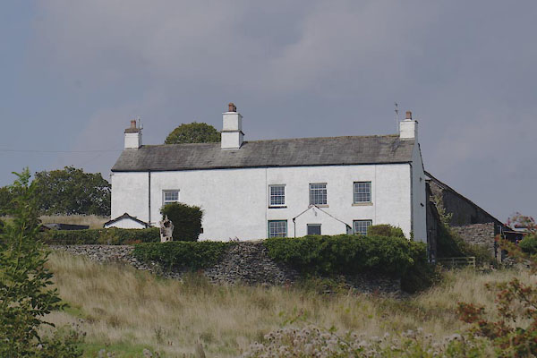
SD37998030 Greenbank (Lower Allithwaite) L |
|
|
 |
SD37918029 Harrisons Farm (Lower Allithwaite) L |
|
|
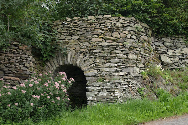 |
SD38068027 limekiln, Green Bank (Broughton East) |
|

 Lakes Guides menu.