 Old Cumbria Gazetteer
 |
 |
|
| Green Bell, Ravenstonedale | ||
| Green Bell | ||
| locality:- | Ravenstonedale Common | |
| civil parish:- | Ravenstonedale (formerly Westmorland) | |
| county:- | Cumbria | |
| locality type:- | hill | |
| coordinates:- | NY69860108 (etc) | |
| 1Km square:- | NY6901 | |
| 10Km square:- | NY60 | |
| altitude:- | 1985 feet | |
| altitude:- | 605m | |
|
|
||
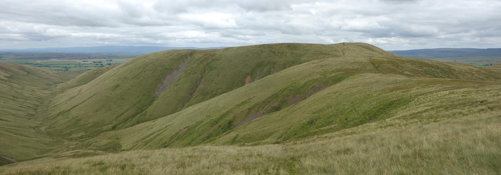 Click to enlarge BZA21.jpg (taken 6.8.2013) |
||
|
|
||
| evidence:- | old map:- OS County Series (Wmd 29 16) placename:- Green Bell |
|
| source data:- | Maps, County Series maps of Great Britain, scales 6 and 25
inches to 1 mile, published by the Ordnance Survey, Southampton,
Hampshire, from about 1863 to 1948. |
|
|
|
||
| evidence:- | old map:- Jefferys 1770 (Wmd) placename:- Green Bell |
|
| source data:- | Map, 4 sheets, The County of Westmoreland, scale 1 inch to 1
mile, surveyed 1768, and engraved and published by Thomas
Jefferys, London, 1770.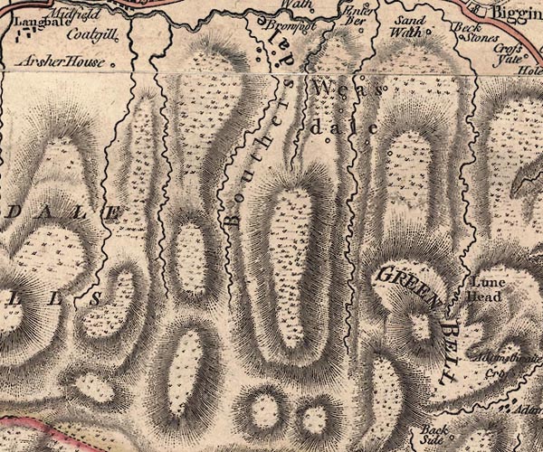 J5NY60SE.jpg "GREEN BELL" hill hachuring; hill or mountain item:- National Library of Scotland : EME.s.47 Image © National Library of Scotland |
|
|
|
||
| evidence:- | old text:- Pennant 1773 placename:- Green Belt Fell |
|
| source data:- | Book, A Tour from Downing to Alston Moor, 1773, by Thomas
Pennant, published by Edward Harding, 98 Pall Mall, London, 1801. goto source goto sourcePennant's Tour 1773, page 117 "... after a ride of about three miles reached the Lune, a river which rises under Green Belt Fell, ..." |
|
|
|
||
| evidence:- | old map:- Cary 1789 (edn 1805) placename:- Green Bell |
|
| source data:- | Map, uncoloured engraving, Westmoreland, scale about 2.5 miles
to 1 inch, by John Cary, London, 1789; edition 1805.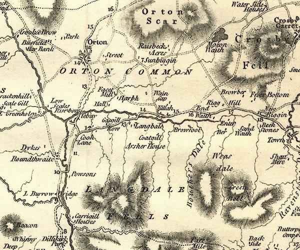 CY24NY60.jpg "Green Bell" hill hachuring item:- JandMN : 129 Image © see bottom of page |
|
|
|
||
Lakes Guides menu.