 |
 |
|
|
|
|
Greenrigg |
| civil parish:- |
Caldbeck (formerly Cumberland) |
| county:- |
Cumbria |
| locality type:- |
locality |
| locality type:- |
buildings |
| coordinates:- |
NY29693814 (etc) |
| 1Km square:- |
NY2837 |
| 10Km square:- |
NY23 |
|
|
| evidence:- |
old map:- OS County Series (Cmd 37 15)
placename:- Greenrigg
|
| source data:- |
Maps, County Series maps of Great Britain, scales 6 and 25
inches to 1 mile, published by the Ordnance Survey, Southampton,
Hampshire, from about 1863 to 1948.
|
|
|
| evidence:- |
old map:- Donald 1774 (Cmd)
placename:- Greenrigg
|
| source data:- |
Map, hand coloured engraving, 3x2 sheets, The County of Cumberland, scale about 1
inch to 1 mile, by Thomas Donald, engraved and published by Joseph Hodskinson, 29
Arundel Street, Strand, London, 1774.
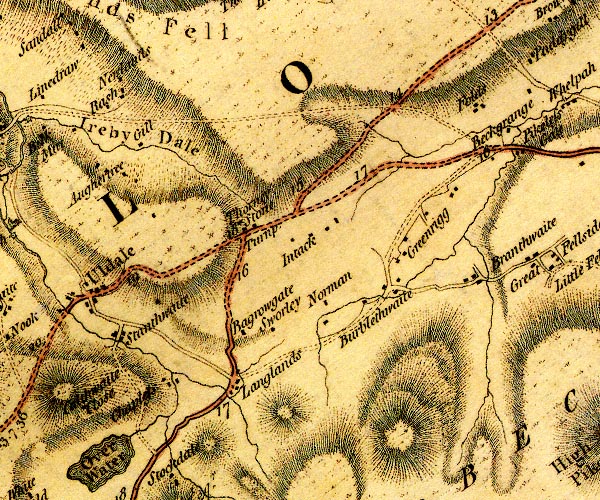
D4NY23NE.jpg
"Greenrigg"
block or blocks, labelled in lowercase; a hamlet or just a house
item:- Carlisle Library : Map 2
Image © Carlisle Library |
|
|
| places:- |
 |
NY29193829 Clay Gap (Caldbeck) |
|
|
 |
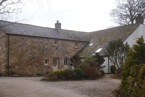
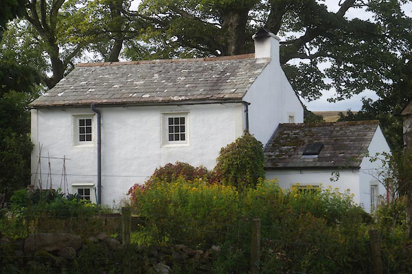
NY28973816 Greenrigg Cottage (Caldbeck) |
|
|
 |
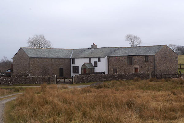
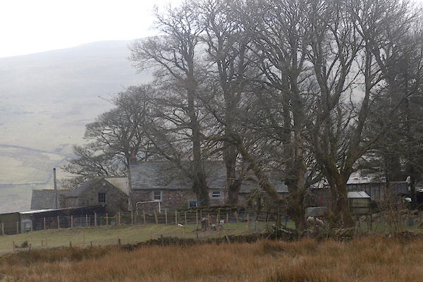
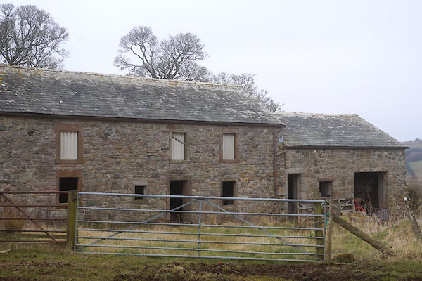
NY29163827 Greenrigg Farm (Caldbeck) L |
|
|
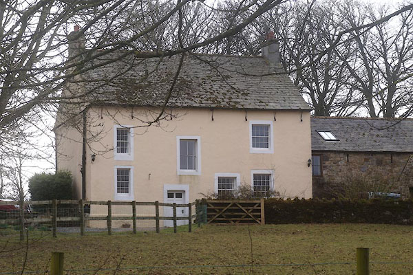 |
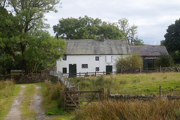
NY29273840 Greenrigg House (Caldbeck) L |
|
|
|
NY28873761 High Greenrigg House (Caldbeck) L |
|
|
 |
NY28763746 Issues (Caldbeck) |
|
|
 |
NY29713872 John Peel Cottage (Caldbeck) L |
|
|
 |
NY29753873 John Peel Farm (Caldbeck) L |
|
|
 |
NY28583746 Lonning Head (Caldbeck) |
|
