Old Cumbria Gazetteer
 |
 |
|
||
| Grisedale Beck | ||||
| runs into:- |  Goldrill Beck Goldrill Beck |
|||
|
|
||||
| civil parish:- | Patterdale (formerly Westmorland) | |||
| county:- | Cumbria | |||
| locality type:- | river | |||
| coordinates:- | NY36451437 | |||
| 1Km square:- | NY3614 | |||
| 10Km square:- | NY31 | |||
|
|
||||
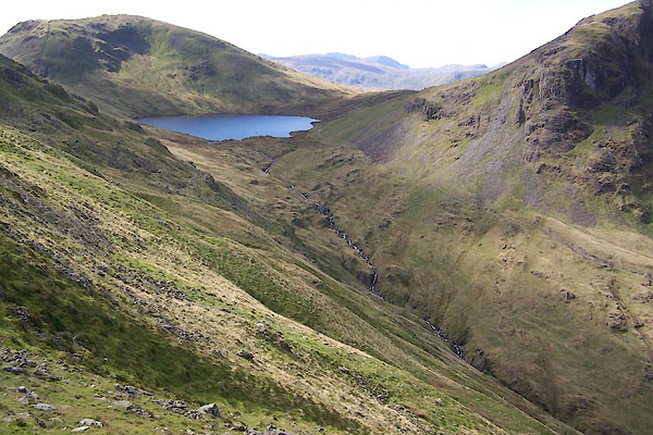 BVL35.jpg (taken 26.9.2011) 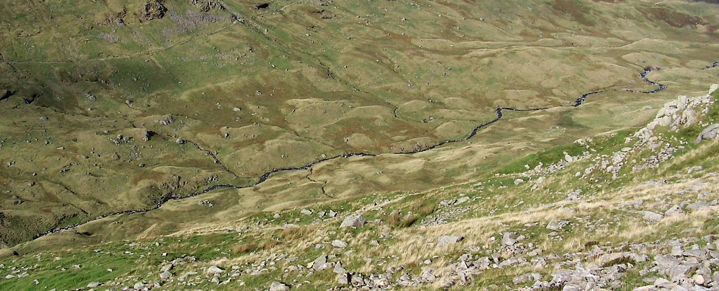 Click to enlarge BVL37.jpg (taken 26.9.2011) |
||||
|
|
||||
| evidence:- | old map:- OS County Series (Wmd 12 14) placename:- Grisedale Beck |
|||
| source data:- | Maps, County Series maps of Great Britain, scales 6 and 25
inches to 1 mile, published by the Ordnance Survey, Southampton,
Hampshire, from about 1863 to 1948. |
|||
|
|
||||
| evidence:- | old map:- Saxton 1579 |
|||
| source data:- | Map, hand coloured engraving, Westmorlandiae et Cumberlandiae Comitatus ie Westmorland
and Cumberland, scale about 5 miles to 1 inch, by Christopher Saxton, London, engraved
by Augustinus Ryther, 1576, published 1579-1645.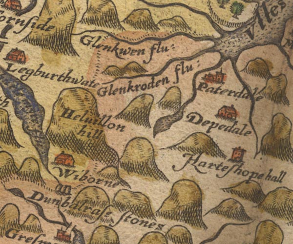 Sax9NY31.jpg item:- private collection : 2 Image © see bottom of page |
|||
|
|
||||
| evidence:- | old map:- Speed 1611 (Cmd) |
|||
| source data:- | Map, hand coloured engraving, Cumberland and the Ancient Citie
Carlile Described, scale about 4 miles to 1 inch, by John Speed,
1610, published by J Sudbury and George Humble, Popes Head
Alley, London, 1611-12.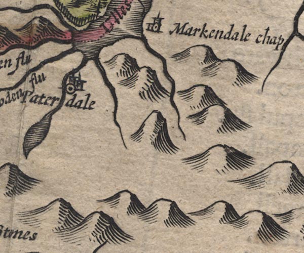 SP11NY41.jpg wiggly line, from the tarn to Ullswater; Westmorland item:- private collection : 16 Image © see bottom of page |
|||
|
|
||||
| evidence:- | old map:- Speed 1611 (Wmd) |
|||
| source data:- | Map, hand coloured engraving, The Countie Westmorland and
Kendale the Cheif Towne, scale about 2.5 miles to 1 inch, by
John Speed, 1610, published by George Humble, Popes Head Alley,
London, 1611-12.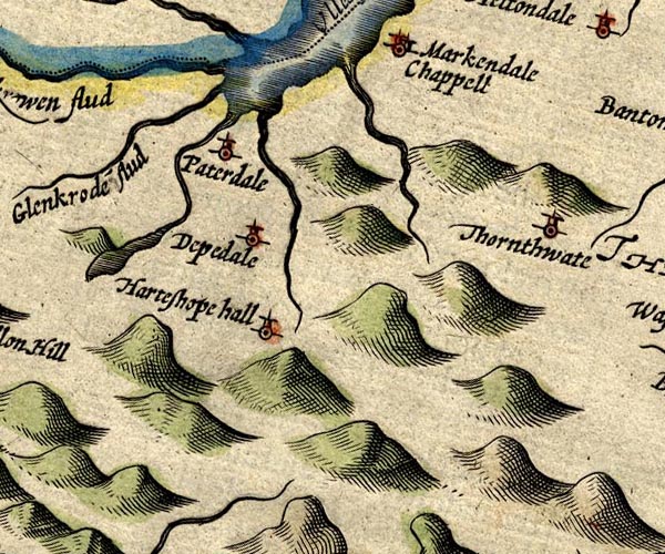 SP14NY41.jpg double line, from tarn to Ullswater item:- Armitt Library : 2008.14.5 Image © see bottom of page |
|||
|
|
||||
| evidence:- | old map:- Jansson 1646 |
|||
| source data:- | Map, hand coloured engraving, Cumbria and Westmoria, ie
Cumberland and Westmorland, scale about 3.5 miles to 1 inch, by
John Jansson, Amsterdam, Netherlands, 1646.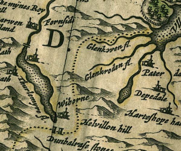 JAN3NY31.jpg Single wiggly line. item:- JandMN : 88 Image © see bottom of page |
|||
|
|
||||
| evidence:- | old map:- Seller 1694 (Wmd) |
|||
| source data:- | Map, hand coloured engraving, Westmorland, scale about 8 miles
to 1 inch, by John Seller, 1694. click to enlarge click to enlargeSEL7.jpg tapering wiggly line; river item:- Dove Cottage : 2007.38.87 Image © see bottom of page |
|||
|
|
||||
| evidence:- | old map:- Morden 1695 (Cmd) |
|||
| source data:- | Map, uncoloured engraving, Cumberland, scale about 4 miles to 1
inch, by Robert Morden, 1695, published by Abel Swale, the
Unicorn, St Paul's Churchyard, Awnsham, and John Churchill, the
Black Swan, Paternoster Row, London, 1695-1715.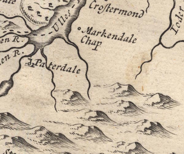 MD12NY41.jpg From Grisedale Tarn into Ullswater by Patterdale. item:- JandMN : 90 Image © see bottom of page |
|||
|
|
||||
| evidence:- | old map:- Morden 1695 (Wmd) |
|||
| source data:- | Map, hand coloured engraving, Westmorland, scale about 2.5 miles to 1 inch, by Robert
Morden, published by Abel Swale, the Unicorn, St Paul's Churchyard, Awnsham, and John
Churchill, the Black Swan, Paternoster Row, London, 1695.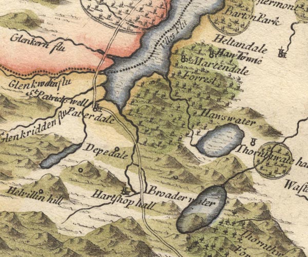 MD10NY41.jpg Running into Ullswater at Patterdale. item:- JandMN : 24 Image © see bottom of page |
|||
|
|
||||
| evidence:- | probably old map:- Simpson 1746 map (Wmd) |
|||
| source data:- | Map, uncoloured engraving, Westmorland, scale about 8 miles to 1
inch, printed by R Walker, Fleet Lane, London, 1746.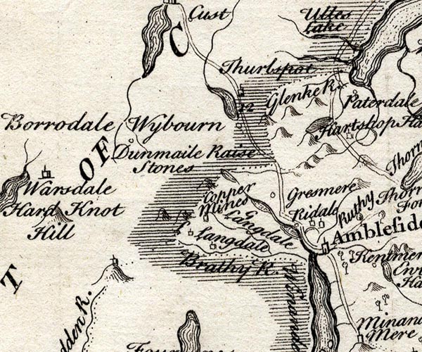 SMP2NYF.jpg Wiggly line; from ?Brothers Water into Ullswater. item:- Dove Cottage : 2007.38.59 Image © see bottom of page |
|||
|
|
||||
| evidence:- | old map:- Bowen and Kitchin 1760 |
|||
| source data:- | Map, hand coloured engraving, A New Map of the Counties of
Cumberland and Westmoreland Divided into their Respective Wards,
scale about 4 miles to 1 inch, by Emanuel Bowen and Thomas
Kitchin et al, published by T Bowles, Robert Sayer, and John
Bowles, London, 1760.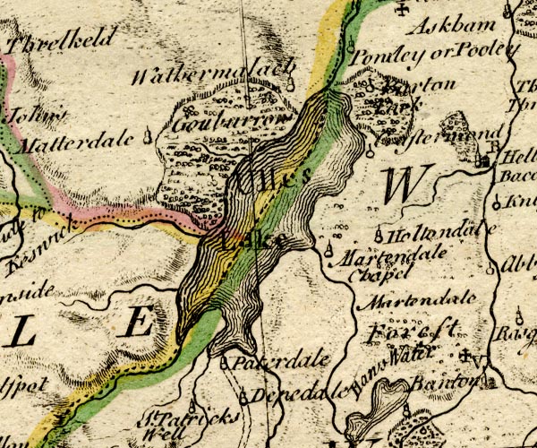 BO18NY31.jpg wiggly line, into Ullswater item:- Armitt Library : 2008.14.10 Image © see bottom of page |
|||
|
|
||||
| evidence:- | old map:- Jefferys 1770 (Wmd) |
|||
| source data:- | Map, 4 sheets, The County of Westmoreland, scale 1 inch to 1
mile, surveyed 1768, and engraved and published by Thomas
Jefferys, London, 1770.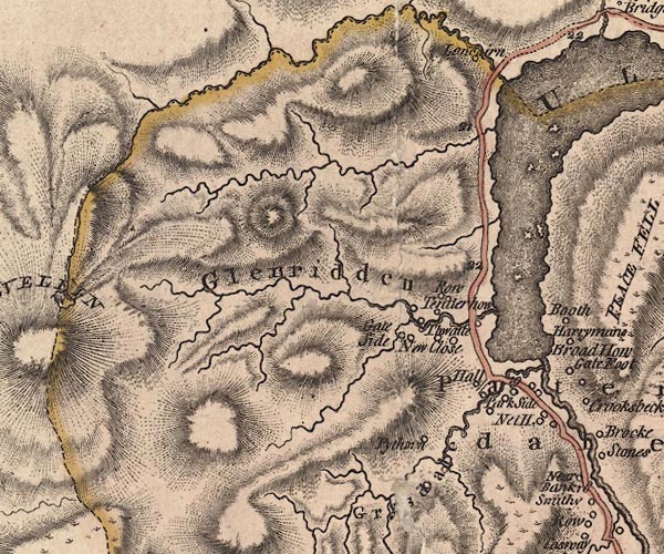 J5NY31NE.jpg single or double wiggly line; river item:- National Library of Scotland : EME.s.47 Image © National Library of Scotland |
|||
|
|
||||
| evidence:- | old map:- Crosthwaite 1783-94 (Ull) placename:- Grysdale Beck |
|||
| source data:- | Map, uncoloured engraving, Accurate Map of the Beautiful Lake of
Ullswater, scale about 3 inches to 1 mile, by Peter Crosthwaite,
Keswick, Cumberland, 1783, version published 1800. CT5NY31Y.jpg "Grysdale beck" item:- Armitt Library : 1959.191.7 Image © see bottom of page |
|||
|
|
||||
| evidence:- | old map:- West 1784 map |
|||
| source data:- | Map, hand coloured engraving, A Map of the Lakes in Cumberland,
Westmorland and Lancashire, scale about 3.5 miles to 1 inch,
engraved by Paas, 53 Holborn, London, about 1784. Ws02NY31.jpg item:- Armitt Library : A1221.1 Image © see bottom of page |
|||
|
|
||||
| evidence:- | old map:- Clarke 1787 map (Ullswater) placename:- Grisdale Beck |
|||
| source data:- | Map, A Map of the Lake Ullswater and its Environs, scale about
6.5 ins to 1 mile, by James Clarke, engraved by S J Neele, 352
Strand, published by James Clarke, Penrith, Cumberland and in
London etc, 1787. CL4NY31Y.jpg "Grisdale Beck" item:- private collection : 10.4 Image © see bottom of page |
|||
|
|
||||
| evidence:- | old map:- Cary 1789 (edn 1805) |
|||
| source data:- | Map, uncoloured engraving, Westmoreland, scale about 2.5 miles
to 1 inch, by John Cary, London, 1789; edition 1805.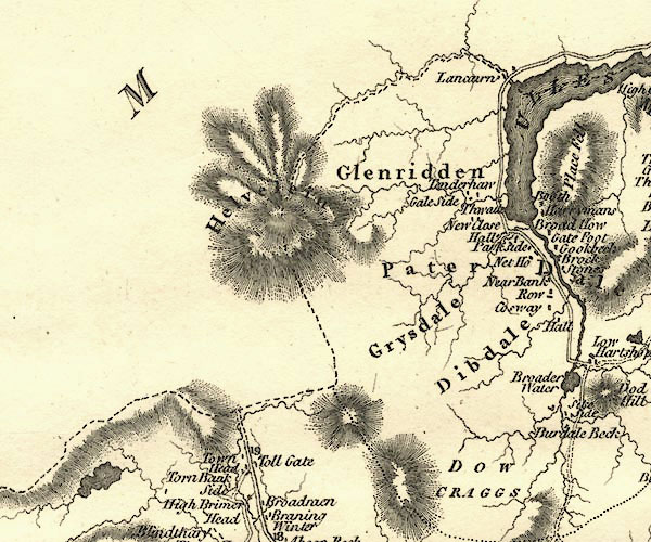 CY24NY31.jpg river running into the Goldrill item:- JandMN : 129 Image © see bottom of page |
|||
|
|
||||
| evidence:- | old text:- Wordsworth 1810 placename:- Grisedale Beck |
|||
| source data:- | Guide book, A Description of the Scenery of the Lakes, later A
Guide through the District of The Lakes, by William Wordsworth,
1810-35. goto source page xxi "... But to return to the road in the main Vale of Ullswater. - At the head of the Lake (being now in Patterdale) we cross a fifth Stream, Grisedale Beck: this would conduct through a woody steep, where may be seen some unusually large ancient hollies, up to the level area of the Valley of Grisedale; hence there is a path for foot-travellers, and along which a horse may be led, to Grasmere. A sublime combination of mountain forms appears in front while ascending the bed of this valley, and the impression increases till the path leads almost immediately under the projecting masses of Helvellyn. ..." |
|||
|
|
||||
| evidence:- | descriptive text:- Ford 1839 (3rd edn 1843) placename:- Grisedale Beck |
|||
| source data:- | Guide book, A Description of Scenery in the Lake District, by
Rev William Ford, published by Charles Thurnam, Carlisle, by W
Edwards, 12 Ave Maria Lane, Charles Tilt, Fleet Street, William
Smith, 113 Fleet Street, London, by Currie and Bowman,
Newcastle, by Bancks and Co, Manchester, by Oliver and Boyd,
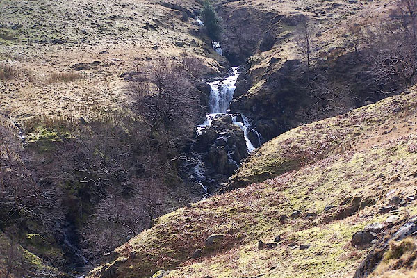
Edinburgh, and by Sinclair, Dumfries, 1839. goto source Page 143:- "..." "... The principal feeders [of Ullswater] are Grisedale Beck, overflowing from a large tarn, high up between Seat-Sandal and Helvellyn, and Goldrill Beck, whose waters are the united streams that pour out of Blea and Angle Tarns. ..." goto sourcePage 148:- "..." "... The stream that rushes down across the road, flows out of Graysdale Tarn, through a moist green dale, with one single house embosomed in sycamores. ..." |
|||
|
|
||||
| evidence:- | old map:- Garnett 1850s-60s H |
|||
| source data:- | Map of the English Lakes, in Cumberland, Westmorland and
Lancashire, scale about 3.5 miles to 1 inch, published by John
Garnett, Windermere, Westmorland, 1850s-60s.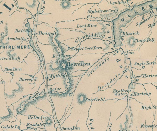 GAR2NY31.jpg wiggly line, river item:- JandMN : 82.1 Image © see bottom of page |
|||
|
|
||||
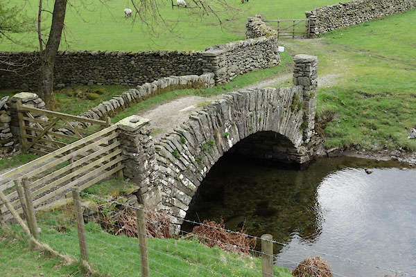
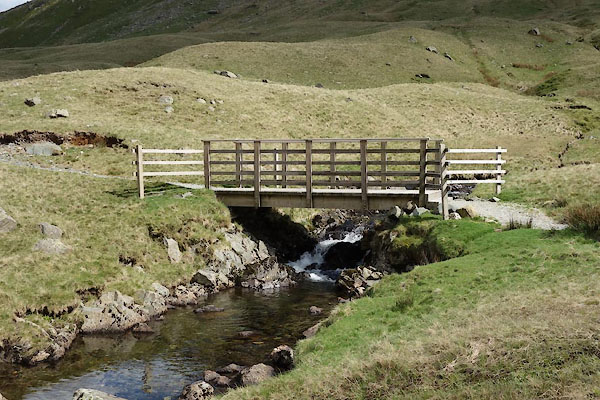
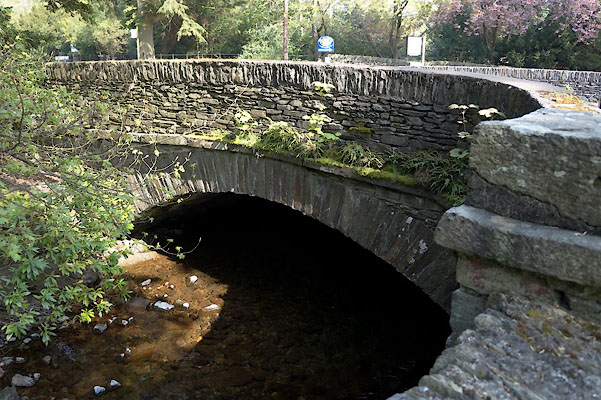
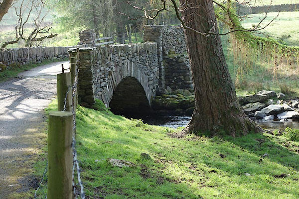
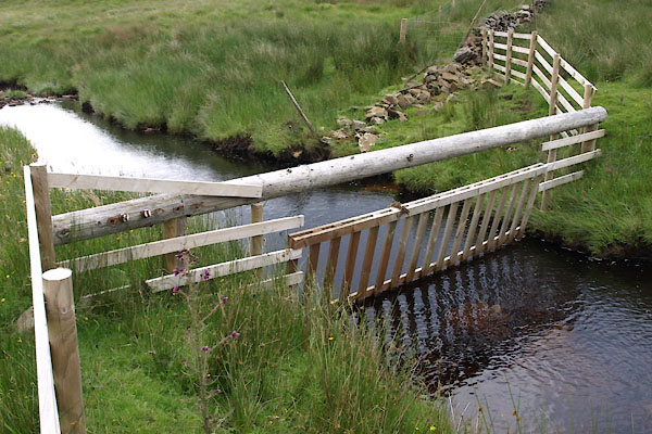
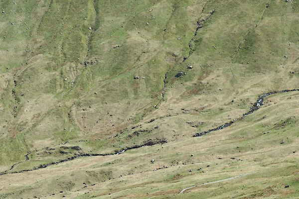 CAO70.jpg (taken 29.4.2014) 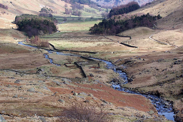 BQH03.jpg (taken 17.3.2009) 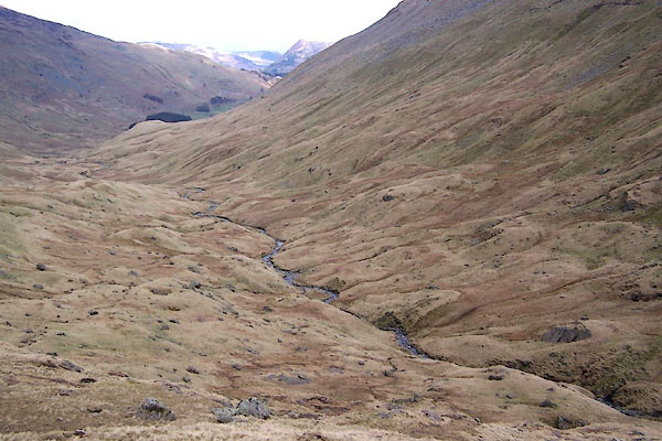 BQH04.jpg (taken 17.3.2009) 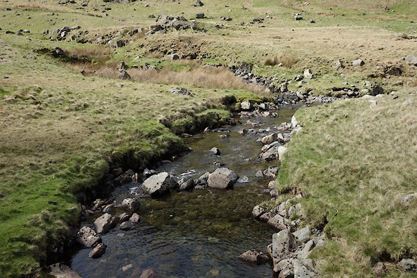 CAO80.jpg At a footbridge, (taken 29.4.2014) 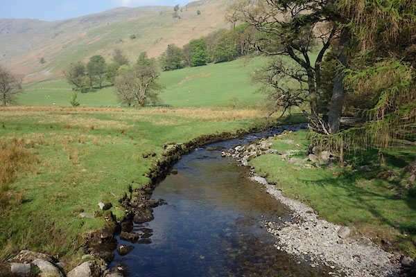 CAO29.jpg At Kennels Bridge, (taken 29.4.2014) 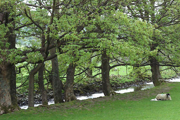 CAO85.jpg (taken 29.4.2014) 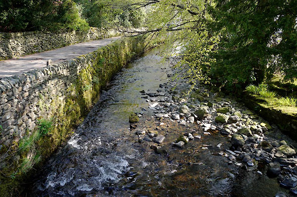 CAM09.jpg At Grisedale Bridge, (taken 29.4.2014) |
||||
|
|
||||
| places:- |
|
|||
|
||||
|
||||
|
||||
|
||||
|
||||
|
||||
Lakes Guides menu.