 Old Cumbria Gazetteer
 |
 |
|
| Gummer's How, Staveley-in-Cartmel | ||
| Gummer's How | ||
| civil parish:- | Staveley-in-Cartmel (formerly Lancashire) | |
| county:- | Cumbria | |
| locality type:- | hill | |
| coordinates:- | SD39048848 | |
| 1Km square:- | SD3988 | |
| 10Km square:- | SD38 | |
| altitude:- | 1053 feet | |
| altitude:- | 321m | |
|
|
||
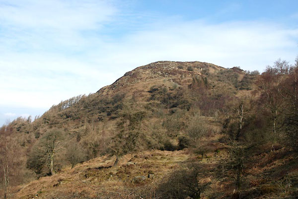 BYC79.jpg (taken 11.4.2013) |
||
|
|
||
| evidence:- | old map:- OS County Series (Lan 8 11) placename:- Gummer's How |
|
| source data:- | Maps, County Series maps of Great Britain, scales 6 and 25
inches to 1 mile, published by the Ordnance Survey, Southampton,
Hampshire, from about 1863 to 1948. |
|
|
|
||
| evidence:- | old map:- Otley 1818 placename:- Gumer How |
|
| source data:- | Map, uncoloured engraving, The District of the Lakes,
Cumberland, Westmorland, and Lancashire, scale about 4 miles to
1 inch, by Jonathan Otley, 1818, engraved by J and G Menzies,
Edinburgh, Scotland, published by Jonathan Otley, Keswick,
Cumberland, et al, 1833.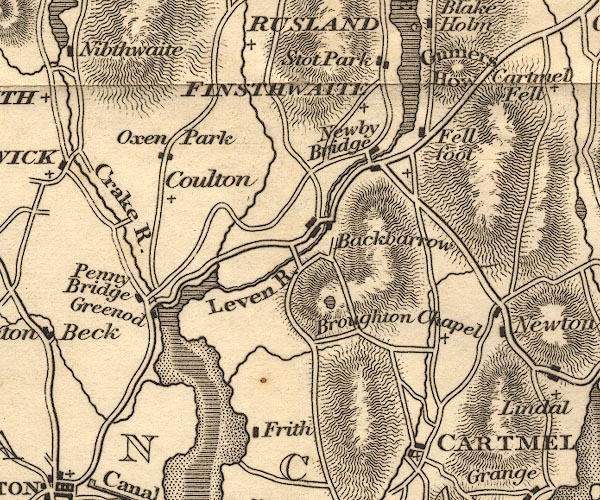 OT02SD38.jpg item:- JandMN : 48.1 Image © see bottom of page |
|
|
|
||
| evidence:- | old map:- Garnett 1850s-60s H placename:- Gummers How |
|
| source data:- | Map of the English Lakes, in Cumberland, Westmorland and
Lancashire, scale about 3.5 miles to 1 inch, published by John
Garnett, Windermere, Westmorland, 1850s-60s.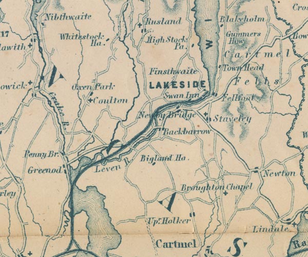 GAR2SD38.jpg "Gummers How" hill hachuring item:- JandMN : 82.1 Image © see bottom of page |
|
|
|
||
| MN photo:- |
Luing cattle, a cross between Highland cattle and Dairy Shorthorn, was delevoped on
the Isle of Luing, Argyllsgire. The breed is hardy, producing good beef. They have
been introduced here to help with the control of vegetation. |
|
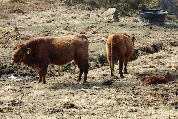 BYC80.jpg (taken 11.4.2013) 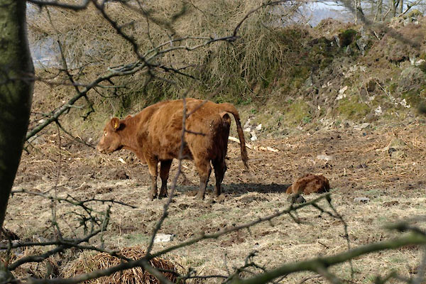 BYC81.jpg (taken 11.4.2013) 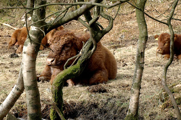 BYC86.jpg (taken 11.4.2013) |
||
|
|
||
 Lakes Guides menu.