 Old Cumbria Gazetteer
 |
 |
|
| Hall Farm, Moorhouse | ||
| Hall | ||
| Hall Farm | ||
| locality:- | Moorhouse | |
| civil parish:- | Burgh by Sands (formerly Cumberland) | |
| county:- | Cumbria | |
| locality type:- | buildings | |
| coordinates:- | NY33215675 | |
| 1Km square:- | NY3356 | |
| 10Km square:- | NY35 | |
|
|
||
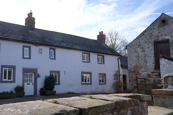 BZY42.jpg (taken 28.2.2014) |
||
|
|
||
| evidence:- | old map:- OS County Series (Cmd 23) placename:- Moorhouse Hall |
|
| source data:- | Maps, County Series maps of Great Britain, scales 6 and 25
inches to 1 mile, published by the Ordnance Survey, Southampton,
Hampshire, from about 1863 to 1948. "Moorhouse Hall" |
|
|
|
||
| evidence:- | database:- Listed Buildings 2010 placename:- Hall Farm |
|
| source data:- | courtesy of English Heritage "HALL FARM / / / BURGH BY SANDS / CARLISLE / CUMBRIA / II / 78254 / NY3324456794" |
|
|
|
||
 Lakes Guides menu.