 Old Cumbria Gazetteer
 |
 |
|
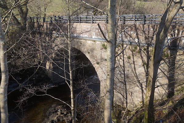
| Handley's Bridge, Sedbergh | ||
| Handley's Bridge | ||
| site name:- | Rawthey, River | |
| civil parish:- | Sedbergh (formerly Yorkshire) | |
| civil parish:- | Ravenstonedale (formerly Westmorland) | |
| county:- | Cumbria | |
| locality type:- | bridge | |
| coordinates:- | SD70569764 | |
| 1Km square:- | SD7097 | |
| 10Km square:- | SD79 | |
|
|
||
 CER18.jpg (taken 7.3.2016)  BPV48.jpg (taken 19.11.2008) |
||
|
|
||
| evidence:- | old map:- OS County Series (Wmd 35 12) placename:- Handleys Bridge |
|
| source data:- | Maps, County Series maps of Great Britain, scales 6 and 25
inches to 1 mile, published by the Ordnance Survey, Southampton,
Hampshire, from about 1863 to 1948. |
|
|
|
||
 Lakes Guides menu.