 Old Cumbria Gazetteer
 |
 |
|
| Hanging Walls of Mark Anthony, Culgaith | ||
| Hanging Walls of Mark Anthony | ||
| locality:- | Kirkland | |
| civil parish:- | Culgaith (formerly Cumberland) | |
| county:- | Cumbria | |
| locality type:- | cultivation terraces | |
| coordinates:- | NY65203217 (etc) | |
| 1Km square:- | NY6532 | |
| 10Km square:- | NY63 | |
|
|
||
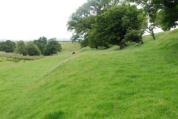 BRF25.jpg (taken 3.8.2009) |
||
|
|
||
| evidence:- | old map:- OS County Series (Cmd 51 14) placename:- Hanging Walls of Mark Anthony |
|
| source data:- | Maps, County Series maps of Great Britain, scales 6 and 25
inches to 1 mile, published by the Ordnance Survey, Southampton,
Hampshire, from about 1863 to 1948. |
|
|
|
||
| evidence:- | old text:- Camden 1789 placename:- Hanging Walls of Marcantoniby placename:- Hanging Walls of Mark Anthony |
|
| source data:- | Book, Britannia, or A Chorographical Description of the Flourishing Kingdoms of England,
Scotland, and Ireland, by William Camden, 1586, translated from the 1607 Latin edition
by Richard Gough, published London, 1789. goto source goto sourcePage 149:- "... the river Blencarne, ... on which I am told are confused ruins of a castle called the Hanging walls of Marcantoniby, or, as they fancy, Mark Anthony." |
|
|
|
||
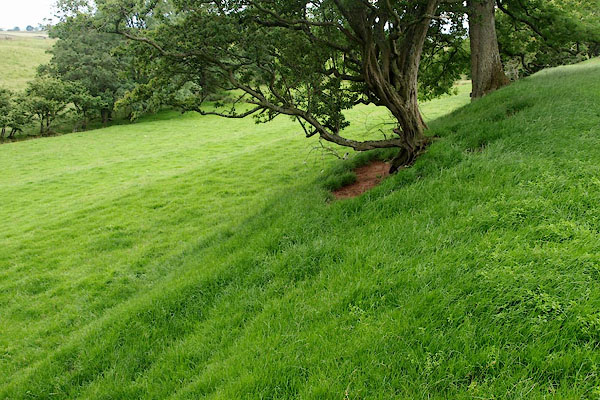 BRF26.jpg (taken 3.8.2009) 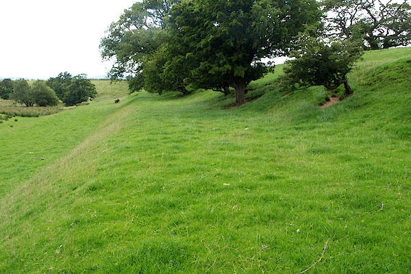 BRF27.jpg (taken 3.8.2009) |
||
|
|
||
Lakes Guides menu.