 |
 |
|
|
|
|
Hensingham |
| locality:- |
Whitehaven |
| civil parish:- |
Whitehaven (formerly Cumberland) |
| county:- |
Cumbria |
| locality type:- |
locality |
| locality type:- |
buildings |
| coordinates:- |
NX98611679 (etc) |
| 1Km square:- |
NX9816 |
| 10Km square:- |
NX91 |
|
|
| evidence:- |
old map:- OS County Series (Cmd 67 7)
placename:- Hensingham
|
| source data:- |
Maps, County Series maps of Great Britain, scales 6 and 25
inches to 1 mile, published by the Ordnance Survey, Southampton,
Hampshire, from about 1863 to 1948.
|
|
|
| evidence:- |
old map:- Donald 1774 (Cmd)
placename:- Hensingham
|
| source data:- |
Map, hand coloured engraving, 3x2 sheets, The County of Cumberland, scale about 1
inch to 1 mile, by Thomas Donald, engraved and published by Joseph Hodskinson, 29
Arundel Street, Strand, London, 1774.
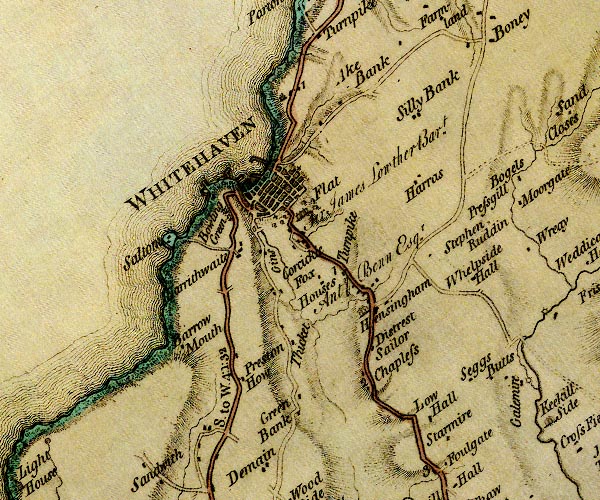
D4NX91NE.jpg
"Hensingham"
block or blocks, labelled in lowercase; a hamlet or just a house
item:- Carlisle Library : Map 2
Image © Carlisle Library |
|
|
| evidence:- |
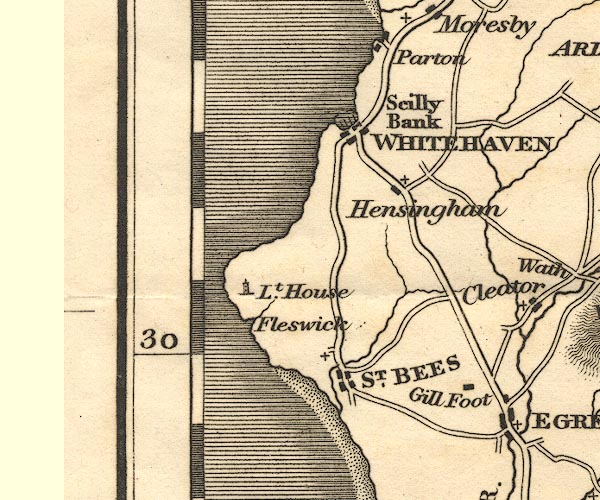
old map:- Cooper 1808
placename:- Hensingham
|
| source data:- |
Map, uncoloured engraving, Cumberland, scale about 10.5 miles to
1 inch, drawn and engraved by Cooper, published by R Phillips,
Bridge Street, Blackfriars, London, 1808.
 click to enlarge click to enlarge
COP3.jpg
"Hensingham"
circle; village or hamlet
item:- JandMN : 86
Image © see bottom of page
|
|
|
| evidence:- |
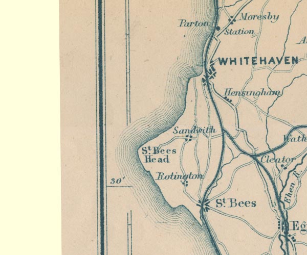
old map:- Otley 1818
placename:- Hensingham
|
| source data:- |
Map, uncoloured engraving, The District of the Lakes,
Cumberland, Westmorland, and Lancashire, scale about 4 miles to
1 inch, by Jonathan Otley, 1818, engraved by J and G Menzies,
Edinburgh, Scotland, published by Jonathan Otley, Keswick,
Cumberland, et al, 1833.
OT02NX91.jpg
item:- JandMN : 48.1
Image © see bottom of page
|
|
|
| evidence:- |
old text:- Gents Mag
|
| source data:- |
Magazine, The Gentleman's Magazine or Monthly Intelligencer or
Historical Chronicle, published by Edward Cave under the
pseudonym Sylvanus Urban, and by other publishers, London,
monthly from 1731 to 1922.
 goto source goto source
Gentleman's Magazine 1816 part 2 p.601
Biographical note from the Compendium of County History:- "Grindal, Edmund, Abp. of Canterbury, Hensingham, 1519."
|
|
|
| evidence:- |
old map:- Garnett 1850s-60s H
placename:- Hensingham
|
| source data:- |
Map of the English Lakes, in Cumberland, Westmorland and
Lancashire, scale about 3.5 miles to 1 inch, published by John
Garnett, Windermere, Westmorland, 1850s-60s.
GAR2NX91.jpg
"Hensingham"
blocks, settlement
item:- JandMN : 82.1
Image © see bottom of page
|
|
|
| places:- |
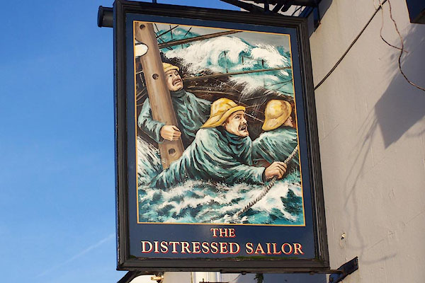 |
NX98581623 Distressed Sailor (Whitehaven) L |
|
|
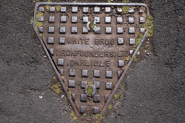 |
NX98771688 drain, Hensingham (Whitehaven) |
|
|
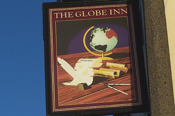 |
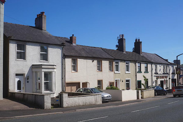
NX98651680 Globe Inn (Whitehaven) L |
|
|
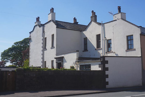 |
NX98601674 Hall, The (Whitehaven) |
|
|
|
NX99291735 Hensingham Cottage (Whitehaven) |
|
|
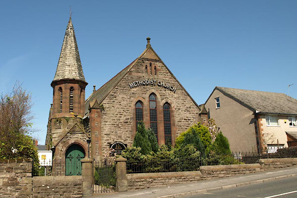 |
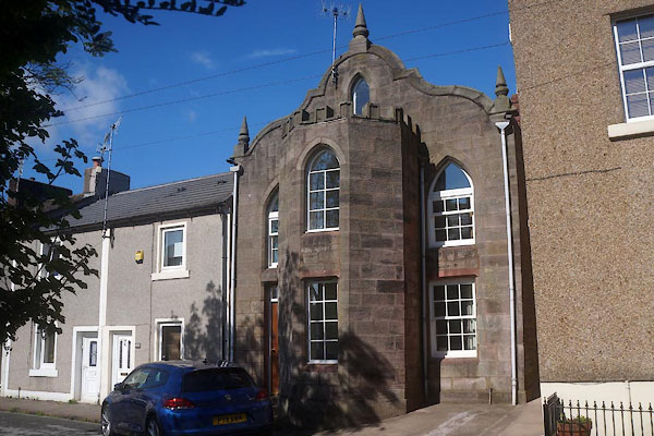
NX98761693 Hensingham Methodist Church (Whitehaven) |
|
|
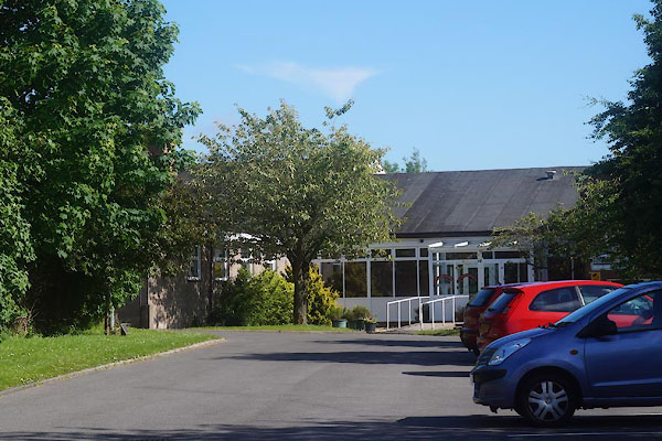 |
NX98861686 Hensingham Primary School (Whitehaven) |
|
|
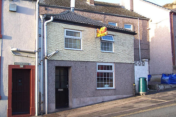 |
NX98631682 Cottage Chippy, The (Whitehaven) |
|
|
 |
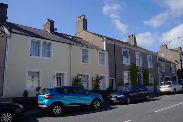
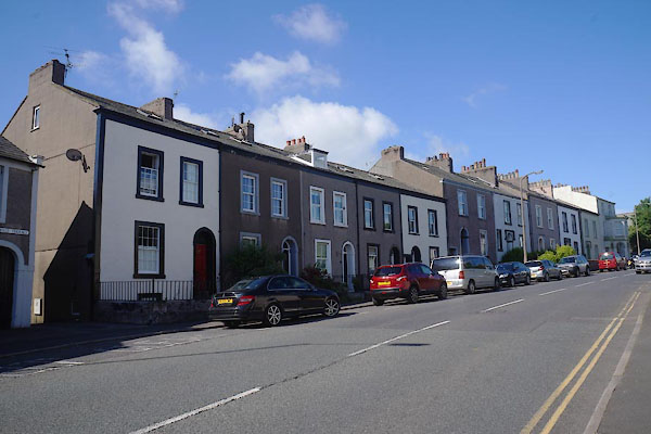
NX98691685 Hensingham: Garden Villas (Whitehaven) L |
|
|
 |
NX98651685 Holly Terrace (Whitehaven) L |
|
|
 |
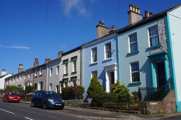
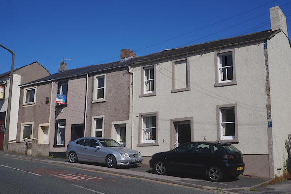
NX98691689 Hensingham: Main Street, 38 to 48 (Whitehaven) L |
|
|
 |
NX98771690 Hensingham: Main Street, 81 to 87 (Whitehaven) L |
|
|
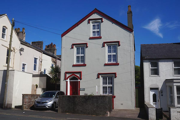 |
NX98681684 Merlin House (Whitehaven) L |
|
|
 |
NX98671681 Hensingham: Main Street, 89 to 95 (Whitehaven) L |
|
|
 |
NX98651680 Hensingham: Main Street, 96 to 99 (Whitehaven) L |
|
|
 |
NX98781686 Hensingham: West View, 7 (Whitehaven) L |
|
|
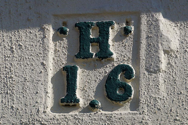 |
NX98781691 hydrant plate, Hensingham (Whitehaven) |
|
|
|
NX98341718 Inkerman Terrace (Whitehaven) |
|
|
|
NX98581758 Jericho (Whitehaven) gone? |
|
|
|
NX98531728 Joppa (Whitehaven) gone? |
|
|
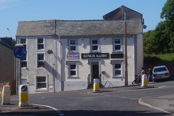 |
NX98601681 Kings Arms (Whitehaven) |
|
|
|
NX99171670 Overend (Whitehaven) gone? |
|
|
|
NX98781685 Plantain Terrace (Whitehaven) |
|
|
|
NX98791696 police station, Hensingham (Whitehaven) |
|
|
|
NY00141805 Priest Gill (Whitehaven) gone |
|
|
|
NX99211718 Richmond Hill (Whitehaven) |
|
|
|
NX98991706 Hensingham School (Whitehaven) gone? |
|
|
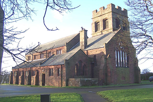 |
NX98571663 St John's Church (Whitehaven) |
|
|
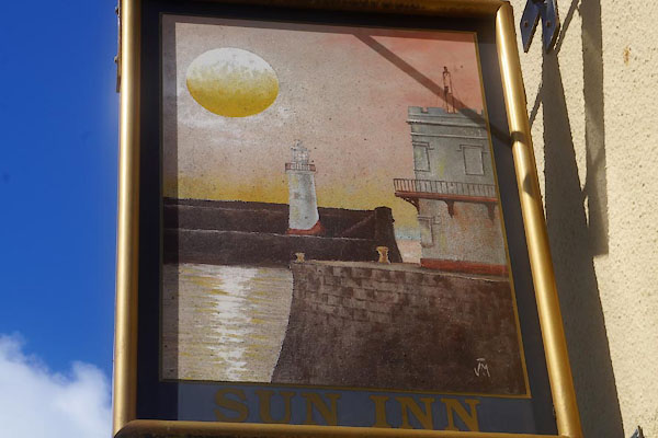 |
NX98631676 Sun Inn (Whitehaven) |
|
|
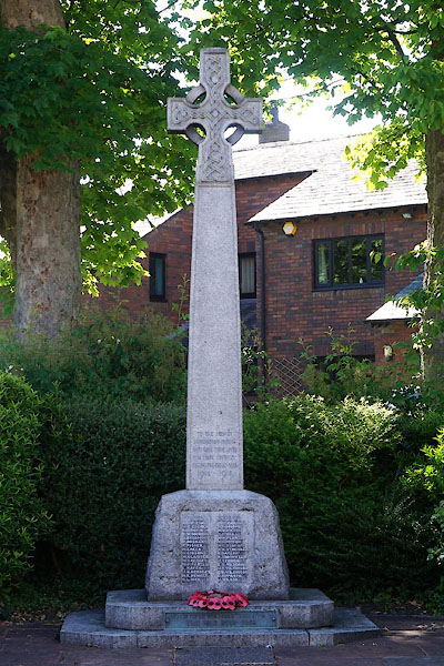 |
NX98611666 war memorial, Hensingham (Whitehaven) |
|
|
|
NX98801731 Yew Bank (Whitehaven) gone? |
|
|
|
NX98301718 Scragill Turnpike (Whitehaven) |
|
