 Old Cumbria Gazetteer
 |
 |
|
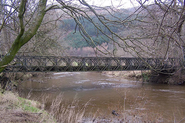
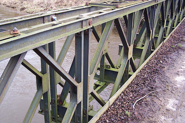
| High Stock Bridge, Underskiddaw | ||
| High Stock Bridge | ||
| site name:- | Derwent, River | |
| civil parish:- | Underskiddaw (formerly Cumberland) | |
| county:- | Cumbria | |
| locality type:- | bridge | |
| locality type:- | bailey bridge | |
| coordinates:- | NY24342598 | |
| 1Km square:- | NY2425 | |
| 10Km square:- | NY22 | |
| SummaryText:- | The present bridge is a Mk II bailey bridge a little upstream of the old bridge which was washed away. The approaches to the old bridge are visible. | |
|
|
||
 BLO24.jpg (taken 20.1.2006) 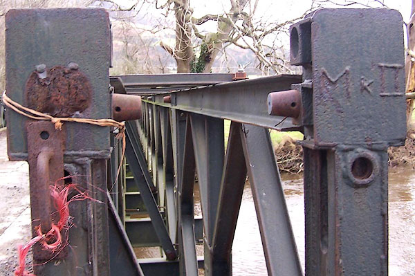 BLO25.jpg (taken 20.1.2006) |
||
|
|
||
| evidence:- | old map:- OS County Series (Cmd 56 13) placename:- High Stock Bridge placename:- Stock Bridge, High |
|
| source data:- | Maps, County Series maps of Great Britain, scales 6 and 25
inches to 1 mile, published by the Ordnance Survey, Southampton,
Hampshire, from about 1863 to 1948. |
|
|
|
||
| evidence:- | old map:- Crosthwaite 1783-94 (Bas) |
|
| source data:- | Map, uncoloured engraving, An Accurate Map of Broadwater or
Bassenthwaite Lake, scale about 3 inches to 1 mile, by Peter
Crosthwaite, Keswick, Cumberland, 1783, version published 1800.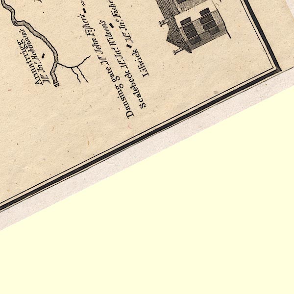 CT6NY22M.jpg Drawn by a bridge symbol. item:- Armitt Library : 1959.191.4 Image © see bottom of page |
|
|
|
||
 BLO26.jpg (taken 20.1.2006) 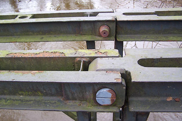 BLO27.jpg (taken 20.1.2006) 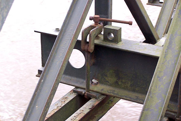 BLO28.jpg (taken 20.1.2006) 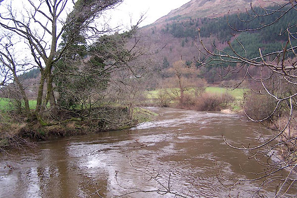 BLO29.jpg Site of the old bridge. (taken 20.1.2006) |
||
|
|
||
 Lakes Guides menu.