 Old Cumbria Gazetteer
 |
 |
|
| Hill, Waterhead | ||
| civil parish:- | Waterhead (formerly Cumberland) | |
| county:- | Cumbria | |
| locality type:- | buildings | |
| coordinates:- | NY62426686 | |
| 1Km square:- | NY6266 | |
| 10Km square:- | NY66 | |
|
|
||
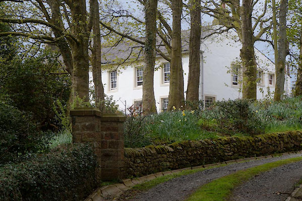 CCY93.jpg (taken 8.5.2015) |
||
|
|
||
| evidence:- | old map:- OS County Series (Cmd 13 5) placename:- Hill, The |
|
| source data:- | Maps, County Series maps of Great Britain, scales 6 and 25
inches to 1 mile, published by the Ordnance Survey, Southampton,
Hampshire, from about 1863 to 1948. |
|
|
|
||
| evidence:- | database:- Listed Buildings 2010 placename:- Hill, The |
|
| source data:- | courtesy of English Heritage "THE HILL / / / WATERHEAD / CARLISLE / CUMBRIA / II / 78178 / NY6242266858" |
|
|
|
||
 Lakes Guides menu.