 Old Cumbria Gazetteer
 |
 |
|
| Holme Well, Satterthwaite | ||
| Holme Well | ||
| Holme Well House | ||
| civil parish:- | Satterthwaite (formerly Lancashire) | |
| county:- | Cumbria | |
| locality type:- | buildings | |
| coordinates:- | SD38179279 | |
| 1Km square:- | SD3892 | |
| 10Km square:- | SD39 | |
|
|
||
| evidence:- | old map:- Crosthwaite 1783-94 (Win/Ble) placename:- Elm Well |
|
| source data:- | Map, uncoloured engraving, An Accurate Map of the Grand Lake of
Windermere, scale about 2 inches to 1 mile, by Peter
Crosthwaite, Keswick, Cumberland, 1783, version published 1819.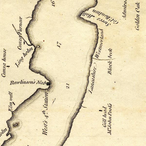 CT9SD39W.jpg "Elm well" block, building/s? item:- Armitt Library : 2008.14.102 Image © see bottom of page |
|
|
|
||
| evidence:- | old map:- Clarke 1787 map (Windermere S) placename:- Elm Well |
|
| source data:- | Map, A Map of the Southern Part of the Lake Winandermere and its
Environs, scale about 6.5 ins to 1 mile, by James Clarke,
engraved by Samuel John Neele, 352 Strand, published by James
Clarke, Penrith, Cumberland and in London etc, 1787.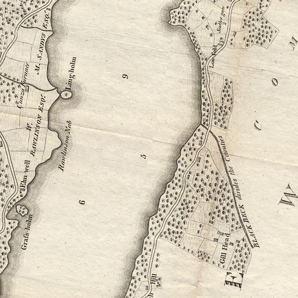 CLBSD39W.jpg "Elm-well" item:- private collection : 10.11 Image © see bottom of page |
|
|
|
||
 Lakes Guides menu.