 Old Cumbria Gazetteer
 |
 |
|
| Kirkdale, Culgaith | ||
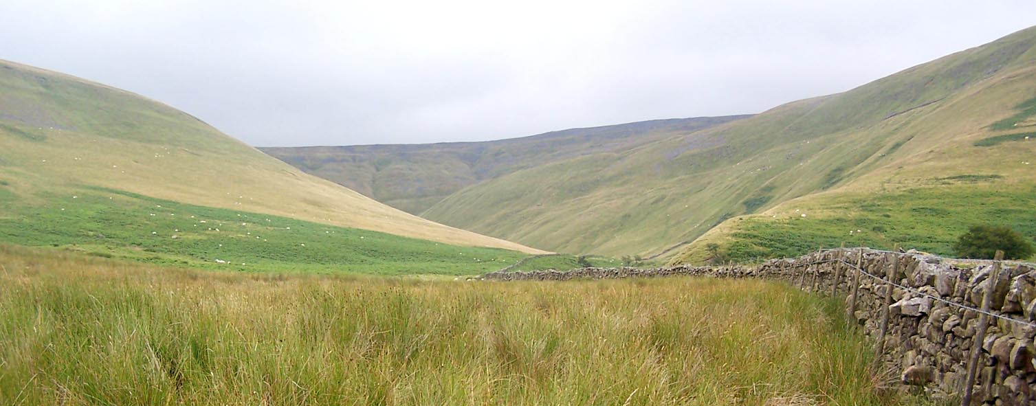
| Kirkdale | ||
| site name:- | Kirkland Beck | |
| civil parish:- | Culgaith (formerly Cumberland) | |
| county:- | Cumbria | |
| locality type:- | valley | |
| coordinates:- | NY66843409 (etc) | |
| 1Km square:- | NY6634 | |
| 10Km square:- | NY63 | |
|
|
||
 Click to enlarge BRF78.jpg (taken 3.8.2009) |
||
|
|
||
| evidence:- | old map:- OS County Series (Cmd 51 11) placename:- Kirk Dale |
|
| source data:- | Maps, County Series maps of Great Britain, scales 6 and 25
inches to 1 mile, published by the Ordnance Survey, Southampton,
Hampshire, from about 1863 to 1948. |
|
|
|
||
 Lakes Guides menu.