

Click to enlarge
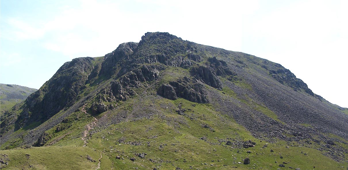
BUX42.jpg (taken 4.7.2011)
placename:- Kirkfell
 click to enlarge
OT2E05.jpg
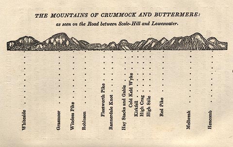
Printed on p.25 of A Concise Description of the English Lakes, by Jonathan Otley, 5th edition, 1834. "THE MOUNTAINS OF CRUMMOCK AND BUTTERMERE: as seen on the Road between Scale-Hill and Loweswater."
"Whiteside / Grasmoor / Witeless Pike / Robinson / Fleetworth Pike / Rannerdale Knot / Hay Stacks and Gable / Cold Keld Wyke / Kirkfell / High Crag / High Stile / Red Pike / Melbreak / Hencomb"
item:- JandMN : 48.6
Image © see bottom of page

 Lakes Guides menu.