 Old Cumbria Gazetteer
 |
 |
|
| Knottallow Tarn, Osmotherley | ||
| Knottallow Tarn | ||
| civil parish:- | Osmotherley (formerly Lancashire) | |
| county:- | Cumbria | |
| locality type:- | tarn | |
| coordinates:- | SD27168019 (etc) | |
| 1Km square:- | SD2780 | |
| 10Km square:- | SD28 | |
|
|
||
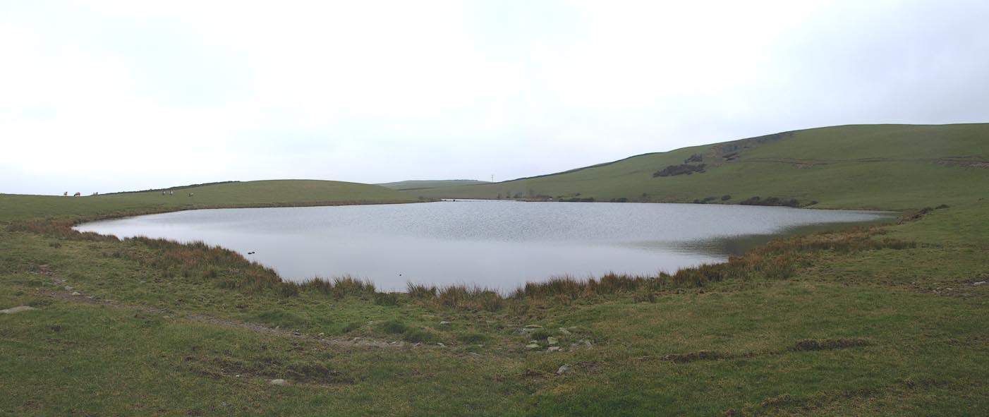 Click to enlarge BOW59.jpg (taken 26.3.2008) 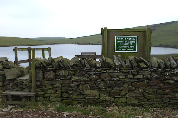 BOW63.jpg Signboard for Ulverston Angling Association. (taken 26.3.2008) |
||
|
|
||
| evidence:- | old map:- OS County Series (Lan 11 14) placename:- Knottallow Tarn |
|
| source data:- | Maps, County Series maps of Great Britain, scales 6 and 25
inches to 1 mile, published by the Ordnance Survey, Southampton,
Hampshire, from about 1863 to 1948. |
|
|
|
||
 Lakes Guides menu.